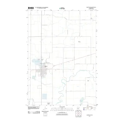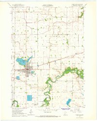
1964 Map of Sleepy Eye
USGS Topo · Published 1965About this map
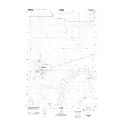
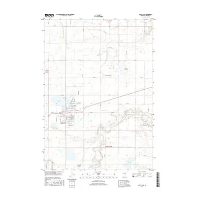
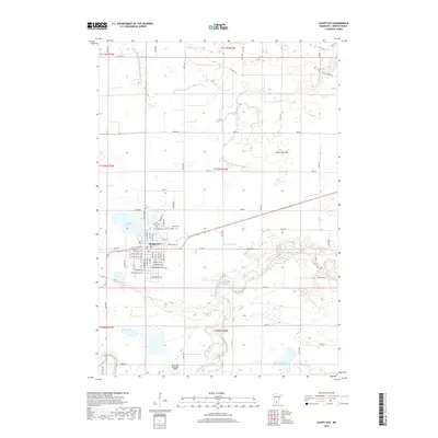
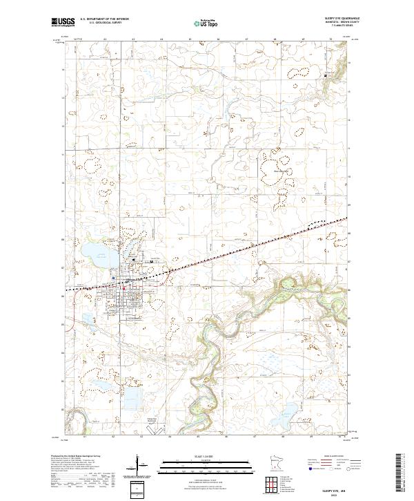
The city of Sleepy Eye serves as the central hub for this mid-1960s agricultural survey in Brown County, oriented around the prominent Sleepy Eye Lake and its adjoining Sleepy Eye State Park. The landscape is defined by the winding course of the Cottonwood River to the south and an extensive network of drainage systems, including Judicial Ditch No 30 and County Ditch No 13, which converted former wetlands into productive prairie farmland. This period shows the transition of transportation and industry, with the Chicago and North Western railroad cutting through town near the grain elevators and the newer Sleepy Eye Municipal Airport established to the south. Local heritage is well-preserved through several rural landmarks, including Home Cem and St Marys Cem, alongside numbered schoolhouses such as School No 199 that once anchored the surrounding townships of Home and Stark.
Find a feature on this map
32 named features on this map. Tap any name to fly to it.
Don’t see what you’re looking for? This feature index may not catch every label — zoom into the map to look around manually.
Map Details
Editions of this 1964 Sleepy Eye Map
This is the sole edition of this map. No revisions or reprints were ever made.
Historical Maps of Sleepy Eye Through Time
6 maps found