
1967 Map of New Ulm
USGS Topo · Published 1967About this map
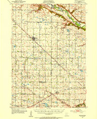
The Minnesota River valley carves a distinct path through the agricultural heartland of southern Minnesota on this mid-century survey. The landscape is defined by its deep cultural history and glacial heritage, featuring several commemorative sites such as the Milford State Monument and the Upper Sioux Indian Mission. Early transportation routes like the Yellow Medicine Trail parallel the river, while the modern industrial footprint is seen in the heavy rail presence of the Great Northern and Chicago and North Western lines. Numerous prairie lakes, including Big Kandiyohi Lake, Lake Lillian, and Cedar Lake, are scattered across the plains. These water bodies, along with the many small towns like Silver Lake and Montevideo, illustrate the dense grid of rural settlements and drainage patterns that characterize the region during the post-war era.
Find a feature on this map
234 named features on this map. Tap any name to fly to it.
Don’t see what you’re looking for? This feature index may not catch every label — zoom into the map to look around manually.
Map Details
Editions of this 1967 New Ulm Map
This is the sole edition of this map. No revisions or reprints were ever made.
Other maps of this area
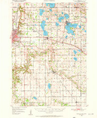
1950 · Mankato East
USGS Topo · 1:62,500

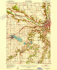
1951 · Mankato East
USGS Topo · 1:62,500
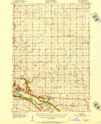
1951 · Mankato West
USGS Topo · 1:62,500
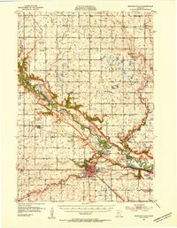
1952 · Morton
USGS Topo · 1:62,500
1952 · Redwood Falls
USGS Topo · 1:62,500
1953 · Morgan
USGS Topo · 1:62,500

1953 · Milbank
USGS Topo · 1:250,000

1953 · Saint Paul
USGS Topo · 1:250,000

1953 · Watertown
USGS Topo · 1:250,000

1953 · New Ulm
USGS Topo · 1:250,000