Loading...
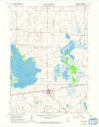
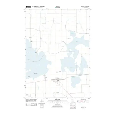
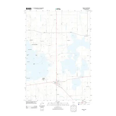
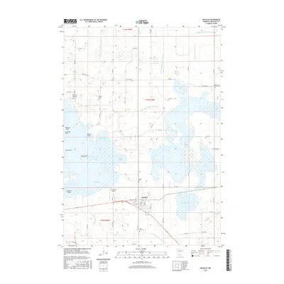
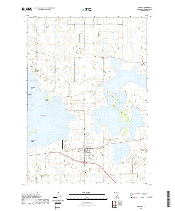
Loading map...1965 Map of Nicollet
USGS Topo · Published 1967About this map
Swan Lake and Middle Lake dominate this mid-century landscape in Nicollet County, showcasing a complex network of bays, islands, and points. The town of Nicollet sits at a critical junction where the Chicago and North Western railroad meets local transit routes. Significant local history is preserved in the naming of waterfront features such as Poor Farm Landing and Nicollet Landing, which reflect early access points to the expansive local waters.
Find a feature on this map
38 named features on this map. Tap any name to fly to it.
Don’t see what you’re looking for? This feature index may not catch every label — zoom into the map to look around manually.
Map Details
Date Portrayed1965
Date Published1967
PublisherU.S. Geological Survey
Map TypeTopographic
Scale1:24,000
Physical Dimensions21.2 x 27.2 inches
Editions of this 1965 Nicollet Map
This is the sole edition of this map. No revisions or reprints were ever made.
Historical Maps of Nicollet Through Time
6 maps found
Featured Locations
Source Details
SourceU.S. Geological Survey
CopyrightPublic Domain