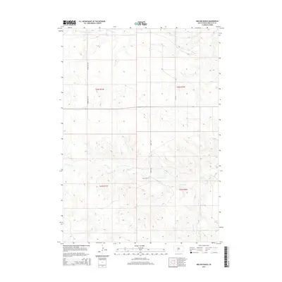
2015 Map of Nielson Ranch
USGS Topo · Published 2015About this map
Nielson Ranch serves as a central landmark in this portion of Mellette County, where the high plains are carved by a network of seasonal watercourses. The landscape is defined by the drainage systems of Cottonwood Cr in the north and the branching reaches of Pine Cr to the south. This area, part of the Swift Bear Segment, shows the modern rural infrastructure of the early 21st century, with long-stretching thoroughfares like Running Bird Rd and 260th Ave providing access across the township and range divisions of t42n r31w and t41n r30w. The map illustrates the sparsely settled nature of the region, where named landmarks are rare and tied to specific family ranching operations and the natural flow of the North and South Branches of Pine Cr.
Find a feature on this map
12 named features on this map. Tap any name to fly to it.
Don’t see what you’re looking for? This feature index may not catch every label — zoom into the map to look around manually.
Map Details
Editions of this 2015 Nielson Ranch Map
This is the sole edition of this map. No revisions or reprints were ever made.
Other maps of this area

1951 · Cedar Butte NE
USGS Topo · 1:24,000

1951 · Murdo 3 NW
USGS Topo · 1:24,000

1951 · Murdo 3 NE
USGS Topo · 1:24,000

1955 · Martin
USGS Topo · 1:250,000

1958 · Martin
USGS Topo · 1:250,000

1969 · Soldier Creek NE
USGS Topo · 1:24,000

1969 · Parmelee NE
USGS Topo · 1:24,000

1969 · Soldier Creek NW
USGS Topo · 1:24,000

1980 · Kadoka
USGS Topo · 1:100,000

1981 · Cedar Butte
USGS Topo · 1:25,000