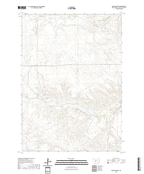
2021 Map of Nielson Ranch
USGS Topo · Published 2021About this map
Nielson Ranch sits as the central namesake landmark in this corner of Mellette County, where the landscape is defined by the winding drainages of the Pine Creek system. The map records the branching paths of N Br Pine Cr, S Br Pine Cr, and the main thread of Pine Cr as they cut through the section lines of the Public Land Survey System. To the north, Cottonwood Cr flows through the upper tiers of the township, while Running Bird Rd provides one of the few named transportation corridors across these ranch lands. This modern survey illustrates the persistent rural character of the South Dakota prairie, showing the organized grid of T41N and T42N against the natural, uneven topography of the creek beds. For those tracing the evolution of family holdings or rural infrastructure, these specific water and road labels pin the geography of the modern ranching era.
Find a feature on this map
10 named features on this map. Tap any name to fly to it.
Don’t see what you’re looking for? This feature index may not catch every label — zoom into the map to look around manually.
Map Details
Editions of this 2021 Nielson Ranch Map
This is the sole edition of this map. No revisions or reprints were ever made.
Other maps of this area

1951 · Cedar Butte NE
USGS Topo · 1:24,000

1951 · Murdo 3 NW
USGS Topo · 1:24,000

1951 · Murdo 3 NE
USGS Topo · 1:24,000

1955 · Martin
USGS Topo · 1:250,000

1958 · Martin
USGS Topo · 1:250,000

1969 · Soldier Creek NE
USGS Topo · 1:24,000

1969 · Parmelee NE
USGS Topo · 1:24,000

1969 · Soldier Creek NW
USGS Topo · 1:24,000

1980 · Kadoka
USGS Topo · 1:100,000

1981 · Cedar Butte
USGS Topo · 1:25,000