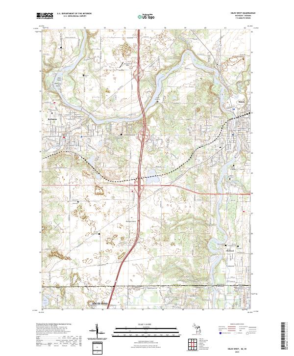
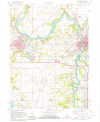
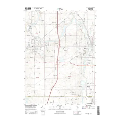
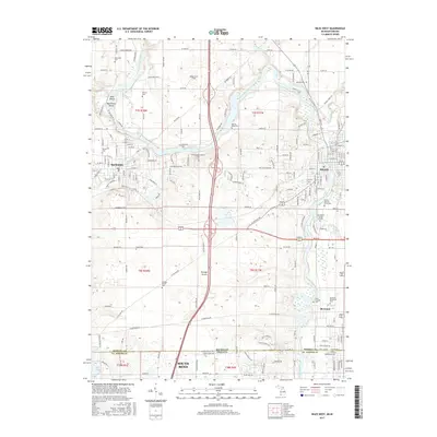
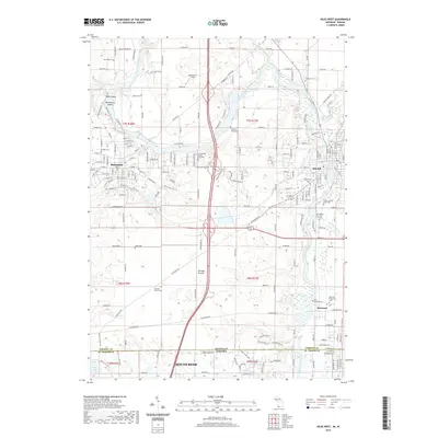
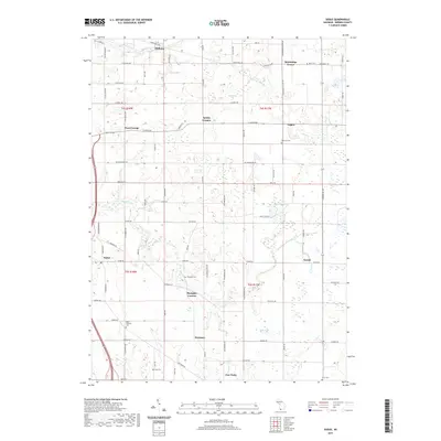
2023 Map of Niles West
USGS Topo · Published 2023About this map
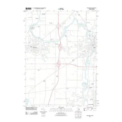
The Saint Joseph River carves a winding path through this Michigan-Indiana borderland, defining the geography of Buchanan and the western reaches of Niles. The landscape is a mix of river islands like Debs Island and the fertile expanse of Portage Prairie. Historically significant sites are concentrated near the riverbanks and the state line, including the Father Allouez Grave Site and the Beeson Mausoleum.
Find a feature on this map
51 named features on this map. Tap any name to fly to it.
Don’t see what you’re looking for? This feature index may not catch every label — zoom into the map to look around manually.
Map Details
Editions of this 2023 Niles West Map
This is the sole edition of this map. No revisions or reprints were ever made.
Historical Maps of South Bend Through Time
29 maps found
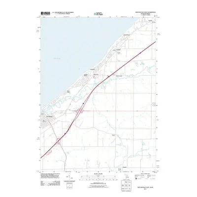
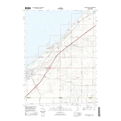
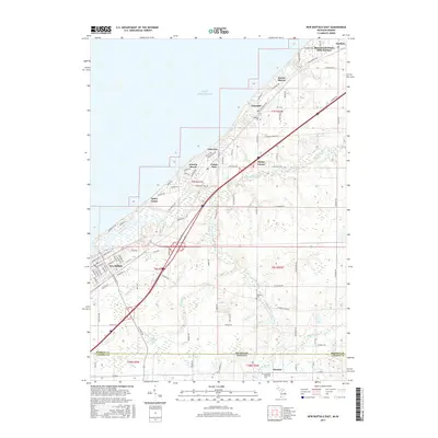
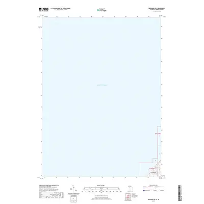
1970 New Buffalo East
Berrien County, MI
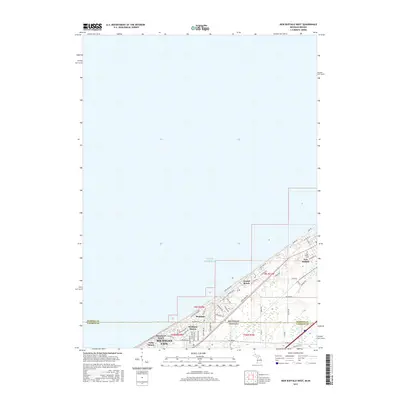
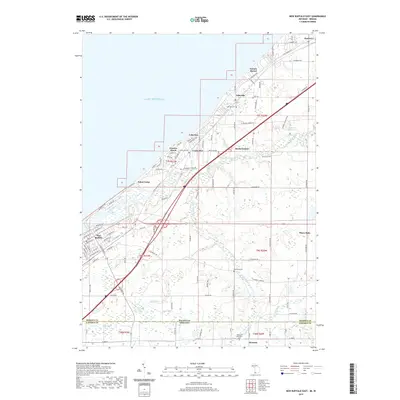
1970 New Buffalo West
Berrien County, MI
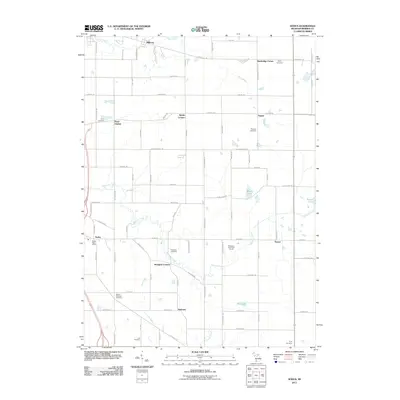
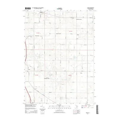
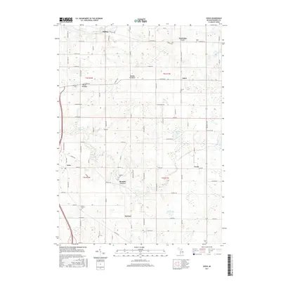
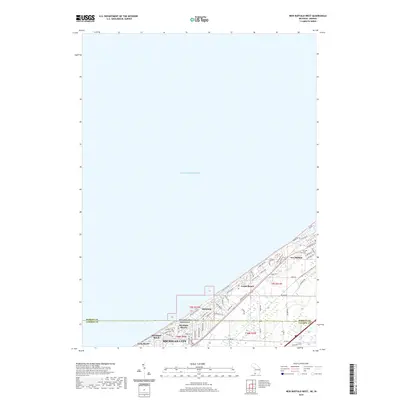
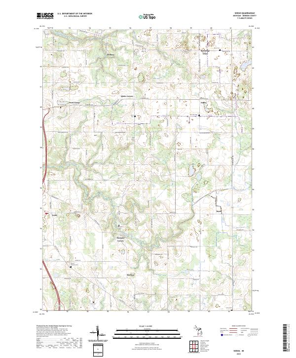
1970 Sodus
Berrien County, MI
1971 Niles West
Berrien County, MI
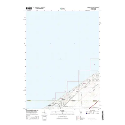
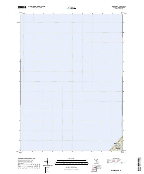
2011 Bridgman OE W
Berrien County, MI
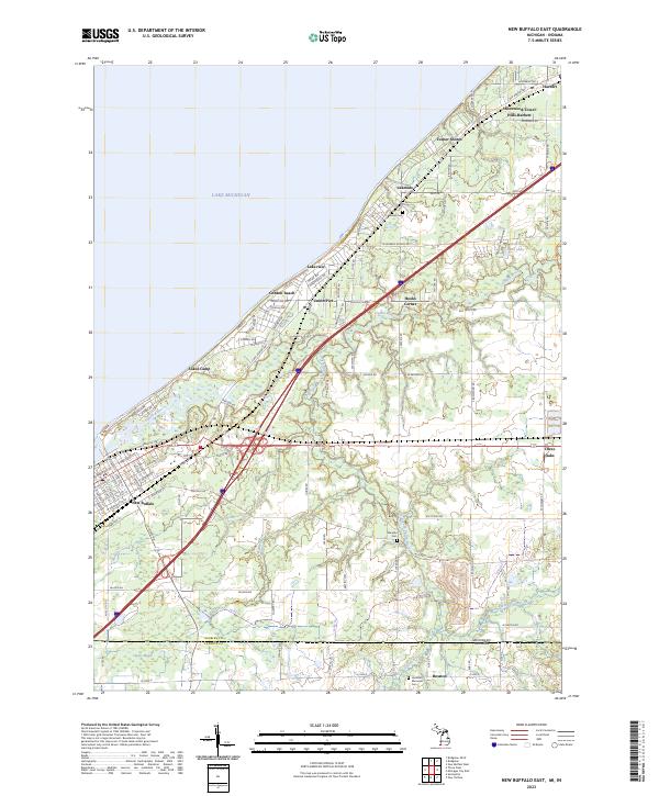
2011 New Buffalo East
Berrien County, MI
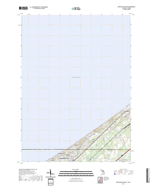
2011 New Buffalo West
Berrien County, MI
2011 Niles West
Berrien County, MI
2011 Sodus
Berrien County, MI
2014 Bridgman OE W
Berrien County, MI
2014 New Buffalo East
Berrien County, MI
2014 New Buffalo West
Berrien County, MI
2014 Niles West
Berrien County, MI
2014 Sodus
Berrien County, MI
2017 Bridgman OE W
Berrien County, MI
2017 New Buffalo East
Berrien County, MI
2017 New Buffalo West
Berrien County, MI
2017 Niles West
Berrien County, MI
2017 Sodus
Berrien County, MI
2019 Bridgman OE W
Berrien County, MI
2019 New Buffalo East
Berrien County, MI
2019 New Buffalo West
Berrien County, MI
2019 Niles West
Berrien County, MI
2019 Sodus
Berrien County, MI
2023 Bridgman OE W
Berrien County, MI
2023 New Buffalo East
Berrien County, MI
2023 New Buffalo West
Berrien County, MI
2023 Niles West
Berrien County, MI
2023 Sodus
Berrien County, MI