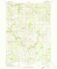
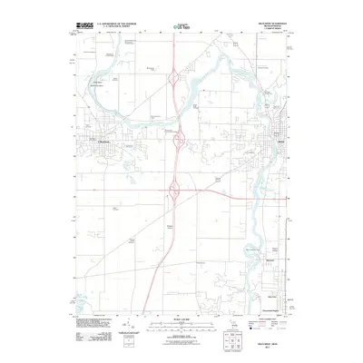
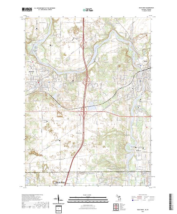
1971 Map of Niles West
USGS Topo · Published 1980About this map
The St Joseph River snakes through this landscape, defining the industrial and civic layout of Buchanan and Niles as they appeared in the 1970s. The map illustrates a heavy rail presence with the Penn Central and the Chicago South Bend and Northern Indiana (Electric) lines traversing the region. Significant cultural landmarks include the Portage Prairie Ch and the historic Treaty Boundary that cuts across the northern section.
Find a feature on this map
67 named features on this map. Tap any name to fly to it.
Don’t see what you’re looking for? This feature index may not catch every label — zoom into the map to look around manually.
Map Details
Editions of this 1971 Niles West Map
2 editions found
Historical Maps of South Bend Through Time
29 maps found
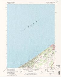
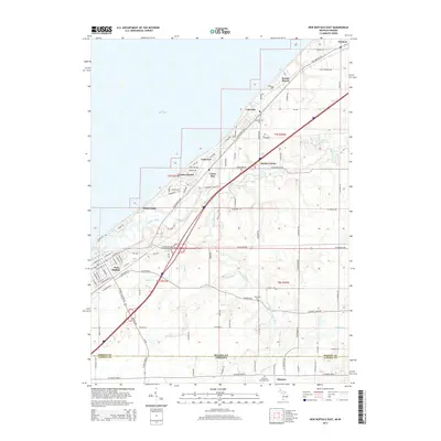
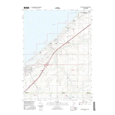
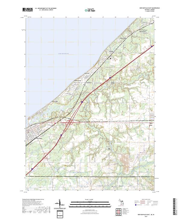
1970 New Buffalo East
Berrien County, MI
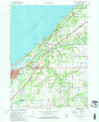
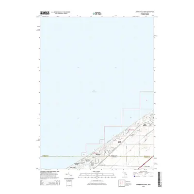
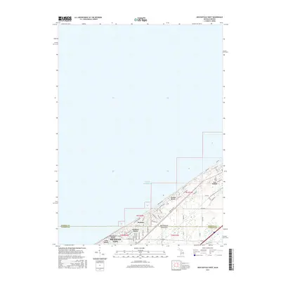
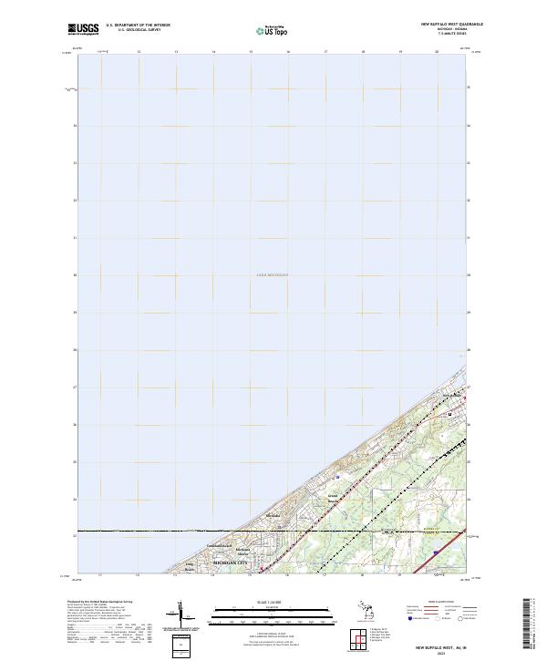
1970 New Buffalo West
Berrien County, MI
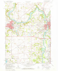
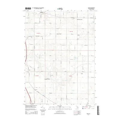
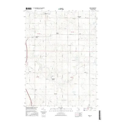
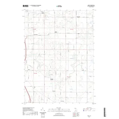
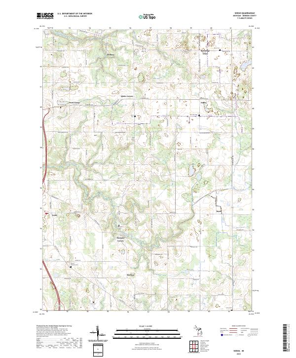
1970 Sodus
Berrien County, MI
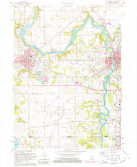
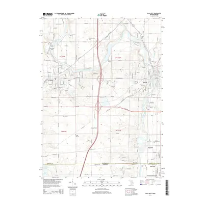
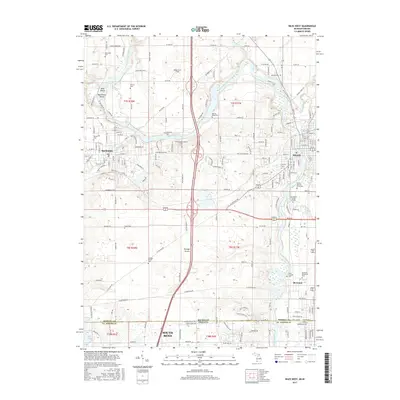
1971 Niles West
Berrien County, MI
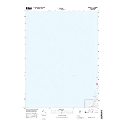
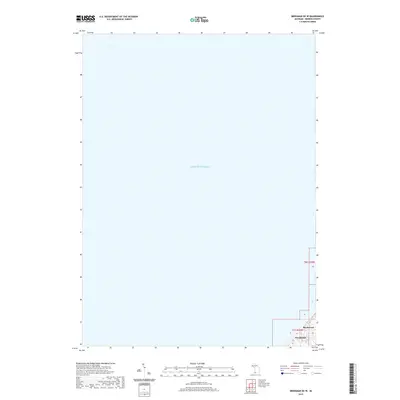
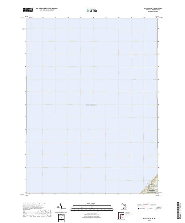
2011 Bridgman OE W
Berrien County, MI
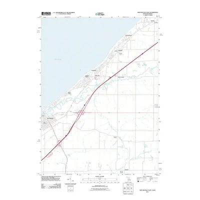
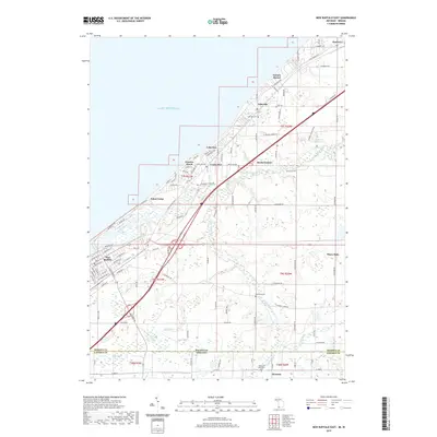
2011 New Buffalo East
Berrien County, MI
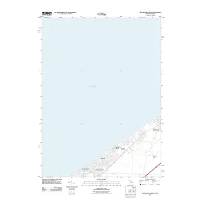
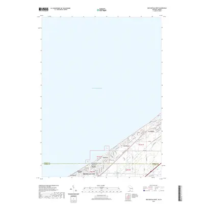
2011 New Buffalo West
Berrien County, MI
2011 Niles West
Berrien County, MI
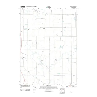
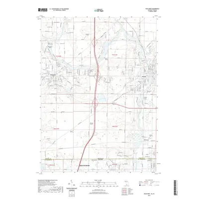
2011 Sodus
Berrien County, MI
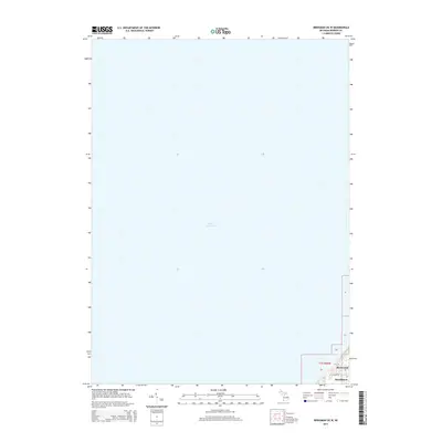
2014 Bridgman OE W
Berrien County, MI
2014 New Buffalo East
Berrien County, MI
2014 New Buffalo West
Berrien County, MI
2014 Niles West
Berrien County, MI
2014 Sodus
Berrien County, MI
2017 Bridgman OE W
Berrien County, MI
2017 New Buffalo East
Berrien County, MI
2017 New Buffalo West
Berrien County, MI
2017 Niles West
Berrien County, MI
2017 Sodus
Berrien County, MI
2019 Bridgman OE W
Berrien County, MI
2019 New Buffalo East
Berrien County, MI
2019 New Buffalo West
Berrien County, MI
2019 Niles West
Berrien County, MI
2019 Sodus
Berrien County, MI
2023 Bridgman OE W
Berrien County, MI
2023 New Buffalo East
Berrien County, MI
2023 New Buffalo West
Berrien County, MI
2023 Niles West
Berrien County, MI
2023 Sodus
Berrien County, MI