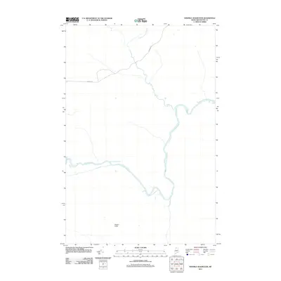
2011 Map of Ninemile Deadwater
USGS Topo · Published 2011About this map
Ninemile Deadwater dominates this section of the Maine north woods, snaking through a landscape defined by slow-moving water and dense forest. The terrain is marked by subtle shifts in elevation, most notably at Western Ledge, while the Branch of Fivemile Brook feeds the broader watershed from the north. Transportation in this interior region is limited to a sparse network of logging routes and trails, with Robinson Rd providing the primary corridor through the timberlands. The survey reveals a remote wilderness character where water bodies and high points serve as the primary landmarks for navigation and land management in Aroostook County.
Find a feature on this map
4 named features on this map. Tap any name to fly to it.
Don’t see what you’re looking for? This feature index may not catch every label — zoom into the map to look around manually.
Map Details
Editions of this 2011 Ninemile Deadwater Map
This is the sole edition of this map. No revisions or reprints were ever made.
Other maps of this area

1954 · Presque Isle
USGS Topo · 1:250,000

1955 · Rocky Mountain
USGS Topo · 1:62,500

1955 · Little East Lake
USGS Topo · 1:62,500

1955 · Round Pond
USGS Topo · 1:62,500

1955 · Seven Islands
USGS Topo · 1:62,500

1958 · Presque Isle
USGS Topo · 1:250,000

1960 · Presque Isle
USGS Topo · 1:250,000

1962 · Edmundston
USGS Topo · 1:250,000

1976 · Seven Islands
USGS Topo · 1:24,000

1976 · East Lake SE
USGS Topo · 1:24,000