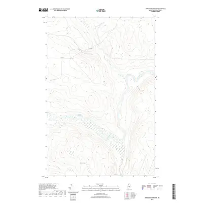
2018 Map of Ninemile Deadwater
USGS Topo · Published 2018About this map
Ninemile Deadwater defines the hydraulic character of this northern Aroostook County landscape, where the Big Black River winds through dense wetland networks. This modern survey illustrates a territory primarily dedicated to timber management, marked by the presence of industrial logging routes like Robinson Rd and Escourt Rd. The terrain is characterized by gradual elevation changes, punctuated by the prominent Western Ledge to the south. Small tributaries, such as the Br of Fivemile Brook, feed into the larger river system, reflecting the intricate drainage patterns of the North Maine Woods. With no permanent settlements shown, the map serves as a detailed record of the region's wilderness and commercial forestry infrastructure.
Find a feature on this map
6 named features on this map. Tap any name to fly to it.
Don’t see what you’re looking for? This feature index may not catch every label — zoom into the map to look around manually.
Map Details
Editions of this 2018 Ninemile Deadwater Map
This is the sole edition of this map. No revisions or reprints were ever made.
Other maps of this area

1954 · Presque Isle
USGS Topo · 1:250,000

1955 · Rocky Mountain
USGS Topo · 1:62,500

1955 · Little East Lake
USGS Topo · 1:62,500

1955 · Round Pond
USGS Topo · 1:62,500

1955 · Seven Islands
USGS Topo · 1:62,500

1958 · Presque Isle
USGS Topo · 1:250,000

1960 · Presque Isle
USGS Topo · 1:250,000

1962 · Edmundston
USGS Topo · 1:250,000

1976 · Seven Islands
USGS Topo · 1:24,000

1976 · East Lake SE
USGS Topo · 1:24,000