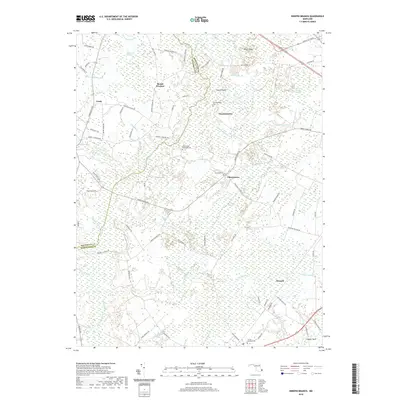
2019 Map of Ninepin Branch
USGS Topo · Published 2019About this map
The Wicomico Co Worcester Co boundary line bisects this landscape of expansive wetlands and scattered agricultural settlements. The eastern portion of the map is dominated by the Ninepin Swamp and Franklin Swamp, feeding into a complex network of waterways including the Ninepin Br, Bowens Br, and Old Mill Br. In the southern reaches, the Pocomoke River winds through the terrain, joined by Powell Br and Coonfoot Br.
Find a feature on this map
84 named features on this map. Tap any name to fly to it.
Don’t see what you’re looking for? This feature index may not catch every label — zoom into the map to look around manually.
Map Details
Editions of this 2019 Ninepin Branch Map
This is the sole edition of this map. No revisions or reprints were ever made.
Other maps of this area

1901 · Snow Hill
USGS Topo · 1:62,500

1901 · Green Run
USGS Topo · 1:62,500

1901 · Ocean City
USGS Topo · 1:62,500

1902 · Pittsville
USGS Topo · 1:62,500

1938 · Green Run
USGS Topo · 1:62,500

1942 · Ocean City
USGS Topo · 1:62,500

1942 · Ninepin
USGS Topo · 1:24,000

1942 · Snow Hill
USGS Topo · 1:24,000

1942 · Wango
USGS Topo · 1:24,000

1942 · Tingles Island
USGS Topo · 1:24,000