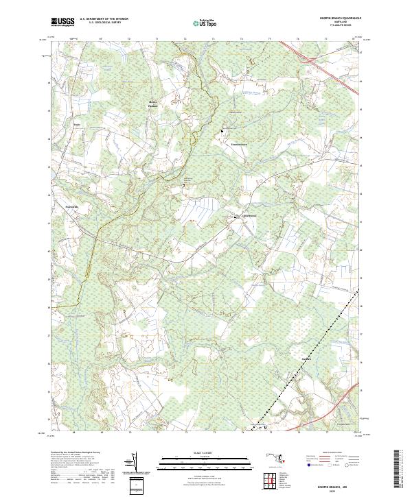
2023 Map of Ninepin Branch
USGS Topo · Published 2023About this map
Timmonstown and Libertytown anchor this landscape along the border of Wicomico and Worcester counties, defined by an intricate network of wetlands and drainage ditches. The area is characterized by the low-lying reaches of Ninepin Swamp and Asherwood Swamp, where the terrain transitions from the Big Woods into a series of named branches like Old Mill Branch and Massey Branch. These waterways, including the Pocomoke River and Whaleyville Branch, dictate the settlement patterns and road networks that connect rural hubs such as Powellville and Newark.
Find a feature on this map
87 named features on this map. Tap any name to fly to it.
Don’t see what you’re looking for? This feature index may not catch every label — zoom into the map to look around manually.
Map Details
Editions of this 2023 Ninepin Branch Map
This is the sole edition of this map. No revisions or reprints were ever made.
Other maps of this area

1901 · Snow Hill
USGS Topo · 1:62,500

1901 · Green Run
USGS Topo · 1:62,500

1901 · Ocean City
USGS Topo · 1:62,500

1902 · Pittsville
USGS Topo · 1:62,500

1938 · Green Run
USGS Topo · 1:62,500

1942 · Ocean City
USGS Topo · 1:62,500

1942 · Ninepin
USGS Topo · 1:24,000

1942 · Snow Hill
USGS Topo · 1:24,000

1942 · Wango
USGS Topo · 1:24,000

1942 · Tingles Island
USGS Topo · 1:24,000