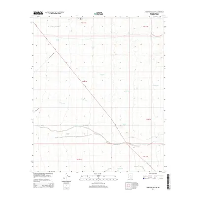
2014 Map of Ninetysix Hills SW
USGS Topo · Published 2014About this map
Tom Mix Wash and Brady Wash dominate the hydrological character of this Pinal County landscape, cutting through an arid expanse defined by a series of critical water storage features. These named tanks, including Double Tank, Toyrea Tank, and Escalanta Tank, represent the vital infrastructure required for ranching and survival in the Arizona desert. The terrain is marked by the prominence of Mid Mtn in the northern reach, while the southern portion is drained by Bogard Wash. This 2014 survey captures a moment when the regional road network, anchored by Az-79 and secondary routes like Iron Valley Rd and Freeman Rd, facilitates movement across the township and range divisions of the Ninetysix Hills. The distribution of these water points and washes highlights the historical dependence on seasonal drainage and man-made tanks to support life and livestock in this environment.
Find a feature on this map
22 named features on this map. Tap any name to fly to it.
Don’t see what you’re looking for? This feature index may not catch every label — zoom into the map to look around manually.
Map Details
Editions of this 2014 Ninetysix Hills SW Map
This is the sole edition of this map. No revisions or reprints were ever made.
Other maps of this area

1922 · Red Rock No 2
USGS Topo · 1:48,000

1934 · Newman Peak
USGS Topo · 1:125,000

1947 · Red Rock
USGS Topo · 1:62,500

1956 · Tucson
USGS Topo · 1:250,000

1958 · Tucson
USGS Topo · 1:250,000

1959 · Tucson
USGS Topo · 1:250,000

1959 · Tortolita Mts
USGS Topo · 1:62,500

1962 · Tucson
USGS Topo · 1:250,000
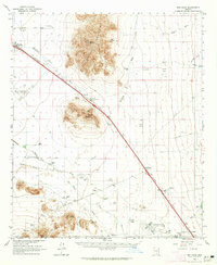
1963 · Red Rock
USGS Topo · 1:62,500

1964 · Tucson
USGS Topo · 1:250,000