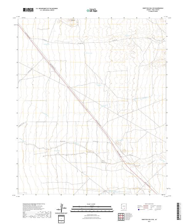
2021 Map of Ninetysix Hills SW
USGS Topo · Published 2021About this map
Pinal Pioneer Pkwy cuts a long diagonal path through this arid Pinal County landscape, serving as a primary corridor through a region defined by seasonal drainage and ranching infrastructure. The terrain is marked by a complex network of ephemeral waterways including Tom Mix Wash, Brady Wash, and Bogard Wash, which reveal the natural flow of water toward the lower elevations. Standing above the surrounding desert floor, Mid Mtn provides a clear landmark in the northern portion of the quadrangle.
Find a feature on this map
23 named features on this map. Tap any name to fly to it.
Don’t see what you’re looking for? This feature index may not catch every label — zoom into the map to look around manually.
Map Details
Editions of this 2021 Ninetysix Hills SW Map
This is the sole edition of this map. No revisions or reprints were ever made.
Other maps of this area

1922 · Red Rock No 2
USGS Topo · 1:48,000

1934 · Newman Peak
USGS Topo · 1:125,000

1947 · Red Rock
USGS Topo · 1:62,500

1956 · Tucson
USGS Topo · 1:250,000

1958 · Tucson
USGS Topo · 1:250,000

1959 · Tucson
USGS Topo · 1:250,000

1959 · Tortolita Mts
USGS Topo · 1:62,500

1962 · Tucson
USGS Topo · 1:250,000
1963 · Red Rock
USGS Topo · 1:62,500

1964 · Tucson
USGS Topo · 1:250,000