Loading...
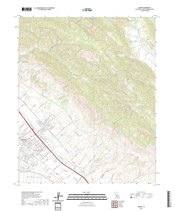
Loading map...2021 Map of Nipomo
USGS Topo · Published 2021About this map
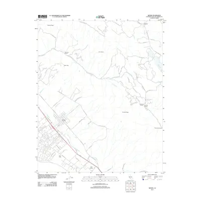
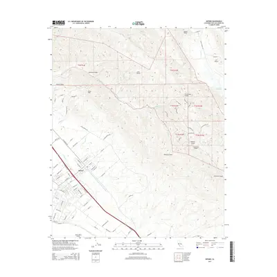
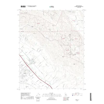
Nipomo serves as the primary hub of this landscape, situated where the Nipomo Mesa transitions toward the Santa Maria Valley. The town's grid is bounded by Nipomo Cr and the main corridor of Highway 101, reflecting its role as a regional center between the hills and the plain. To the north and east, the terrain becomes increasingly complex, defined by the winding Los Berros Canyon and the elevated Newsom Ridge.
Find a feature on this map
135 named features on this map. Tap any name to fly to it.
Don’t see what you’re looking for? This feature index may not catch every label — zoom into the map to look around manually.
Map Details
Date Portrayed2021
Date Published2021
PublisherU.S. Geological Survey
Map TypeTopographic
Scale1:24,000
Physical Dimensions24 x 29 inches
Editions of this 2021 Nipomo Map
This is the sole edition of this map. No revisions or reprints were ever made.
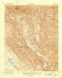
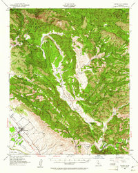
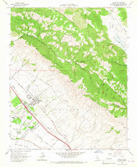
Historical Maps of Huasna Through Time
7 maps found
Featured Locations
Source Details
SourceU.S. Geological Survey
CopyrightPublic Domain