
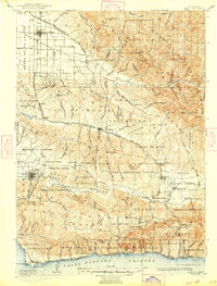
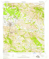
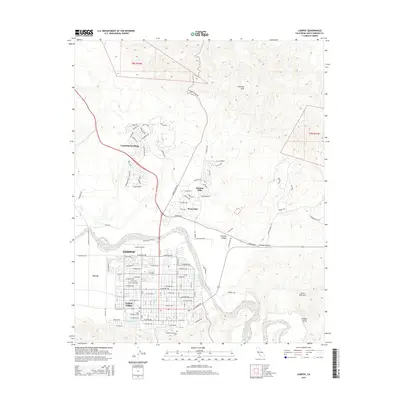
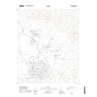
1942 Map of Lompoc
USGS Topo · Published 1942About this map
Mission La Purisima and Santa Ynez Mission anchor this coastal landscape, reflecting the long history of development between the Santa Maria Valley and the Santa Barbara Channel. By the early 1940s, the region supported a diverse economic network of oil, ranching, and agriculture, serviced by the Pacific Coast Railroad and the Southern Pacific RR. The map captures several distinctive rural settlements like Roadamite and Bicknell, alongside dozens of localized educational sites including Suey Sch and Careaga Sch. This era shows a transition from heavy resource extraction at the Asphaltum Mine to early tourism and recreation, noted by the presence of Nojoqui Falls Co Park and Santa Rosa Park. Transportation routes like U.S. Route 101 follow the contours of the Solomon Hills and Purisima Hills, connecting inland valleys to coastal stations at Gaviota and Concepcion.
Find a feature on this map
147 named features on this map. Tap any name to fly to it.
Don’t see what you’re looking for? This feature index may not catch every label — zoom into the map to look around manually.
Map Details
Editions of this 1942 Lompoc Map
This is the sole edition of this map. No revisions or reprints were ever made.
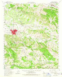
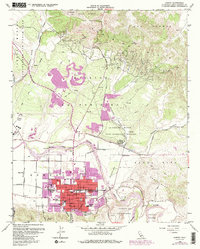
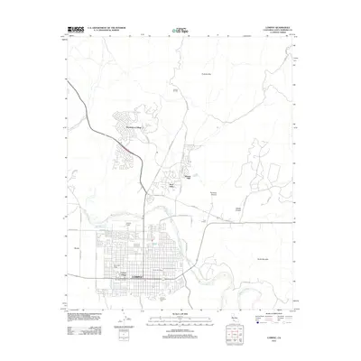
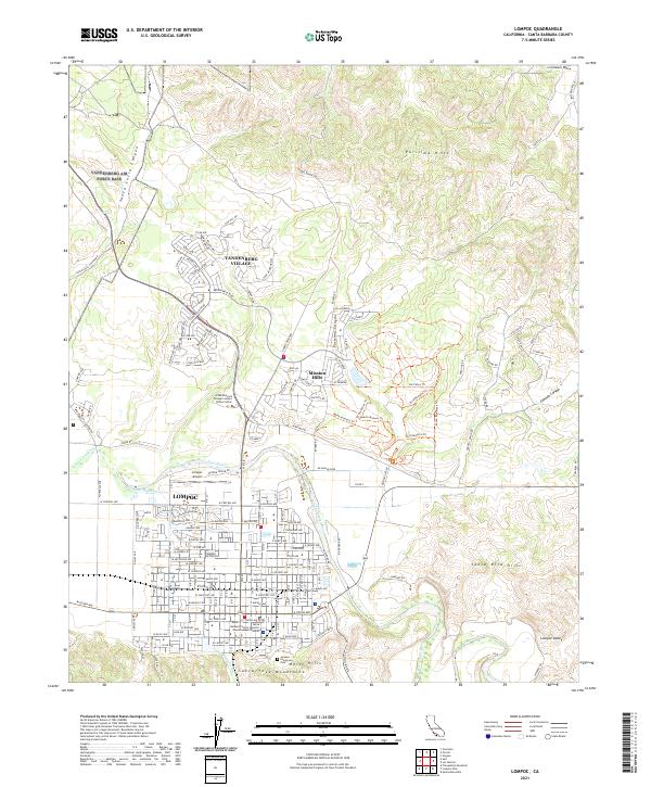
Historical Maps of Santa Maria Through Time
12 maps found
1905 Lompoc
Santa Barbara County, CA
1942 Lompoc
Santa Barbara County, CA
1942 Lompoc
Santa Barbara County, CA
1943 Lompoc
Santa Barbara County, CA
1947 Lompoc
Santa Barbara County, CA
1947 Lompoc
Santa Barbara County, CA
1959 Lompoc
Santa Barbara County, CA
1959 Lompoc
Santa Barbara County, CA
2012 Lompoc
Santa Barbara County, CA
2015 Lompoc
Santa Barbara County, CA
2018 Lompoc
Santa Barbara County, CA
2021 Lompoc
Santa Barbara County, CA