
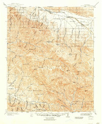
1902 Map of Santa Ynez
USGS Topo · Published 1902About this map
The Santa Barbara National Forest dominates this early twentieth-century landscape, a territory defined by the towering San Rafael Mountains and the winding course of the Santa Ynez River. In the northern stretches, the Cuyama Valley serves as a critical corridor for early ranching, marked by Galiente Ranch, Cuyama Ranch, and the settlement of Wasioja. The map documents a rugged interior characterized by extensive "potreros"—high mountain meadows such as Salisbury Potrero and Santa Barbara Potrero—which provided vital grazing lands for local stockmen before modern infrastructure reached these canyons.
Find a feature on this map
98 named features on this map. Tap any name to fly to it.
Don’t see what you’re looking for? This feature index may not catch every label — zoom into the map to look around manually.
Map Details
Editions of this 1902 Santa Ynez Map
This is the sole edition of this map. No revisions or reprints were ever made.
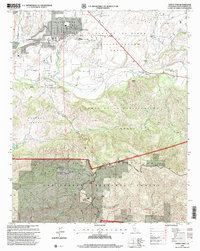
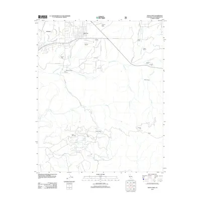
Historical Maps of Junction Camp Through Time
8 maps found
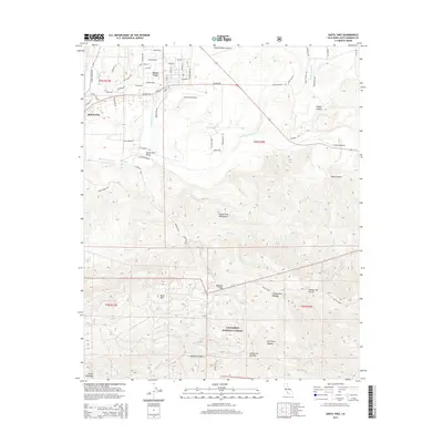
1902 Santa Ynez
Santa Barbara County, CA
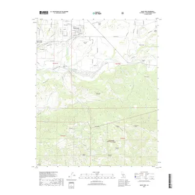
1905 Santa Ynez
Santa Barbara County, CA
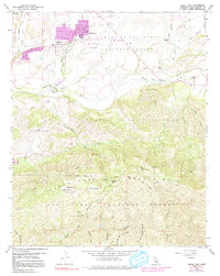
1959 Santa Ynez
Santa Barbara County, CA
1995 Santa Ynez
Santa Barbara County, CA
2012 Santa Ynez
Santa Barbara County, CA
2015 Santa Ynez
Santa Barbara County, CA
2018 Santa Ynez
Santa Barbara County, CA
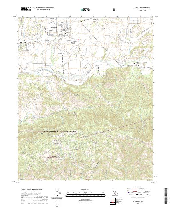
2021 Santa Ynez
Santa Barbara County, CA