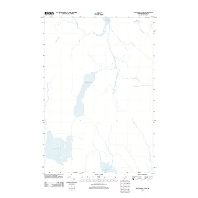
2011 Map of Nollesemic Lake
USGS Topo · Published 2011About this map
Nollesemic Lake sits at the center of this Maine backcountry landscape, part of an intricate drainage system feeding into the W Branch Penobscot River. This hydrologic network is defined by the convergence of several major water bodies, including the sprawling East Branch Lake to the southwest and the northern reaches of Mattamiscontis Lake. The area's water-based geography is further marked by Grand Falls along the river and the marshy expanse of Miner Brook Bog in the northeast corner.
Find a feature on this map
14 named features on this map. Tap any name to fly to it.
Don’t see what you’re looking for? This feature index may not catch every label — zoom into the map to look around manually.
Map Details
Editions of this 2011 Nollesemic Lake Map
This is the sole edition of this map. No revisions or reprints were ever made.
Other maps of this area

1942 · Lincoln
USGS Topo · 1:62,500

1947 · Schoodic
USGS Topo · 1:62,500

1949 · Schoodic
USGS Topo · 1:62,500

1951 · Norcross
USGS Topo · 1:62,500

1951 · Millinocket
USGS Topo · 1:62,500

1954 · Millinocket
USGS Topo · 1:250,000

1957 · Lincoln
USGS Topo · 1:62,500

1958 · Millinocket
USGS Topo · 1:250,000

1960 · Millinocket
USGS Topo · 1:250,000

1975 · Millinocket SW
USGS Topo · 1:24,000
Featured Places
- Millinocket, ME
- T3 Indian Purchase Township, ME
- Hopkins Academy Grant Township, ME
- TA R7 WELS, ME
- Long A Township, ME