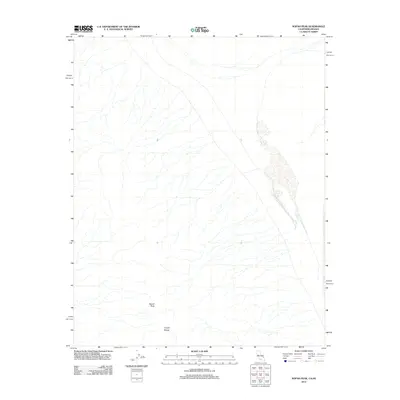
2012 Map of Nopah Peak
USGS Topo · Published 2012About this map
Nopah Peak stands as the primary landmark in this arid portion of Inyo County, marking a high point within the broader Nopah Range. The landscape is defined by the stark topography of the Mojave Desert, where intricate drainage patterns and dry washes flow across the basin floor. This 2012 survey documents a largely undeveloped wilderness near the California-Nevada border, where the terrain remains primarily shaped by natural geomorphic processes rather than human settlement. The map provides a precise look at the alluvial fans and complex contouring of the range, offering a clear record of the physical geography of the Great Basin before any further environmental or infrastructural changes occurred in the early 21st century.
Find a feature on this map
2 named features on this map. Tap any name to fly to it.
Don’t see what you’re looking for? This feature index may not catch every label — zoom into the map to look around manually.
Map Details
Editions of this 2012 Nopah Peak Map
This is the sole edition of this map. No revisions or reprints were ever made.
Other maps of this area
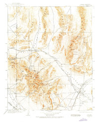
1907 · Las Vegas
USGS Topo · 1:250,000

1908 · Furnace Creek
USGS Topo · 1:250,000
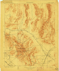
1908 · Las Vegas
USGS Topo · 1:250,000

1910 · Furnace Creek
USGS Topo · 1:250,000

1910 · Ivanpah
USGS Topo · 1:250,000

1912 · Ivanpah
USGS Topo · 1:250,000

1933 · Avawatz Mountains
USGS Topo · 1:250,000

1942 · Ivanpah
USGS Topo · 1:250,000

1947 · Trona
USGS Topo · 1:250,000

1947 · Kingman
USGS Topo · 1:250,000