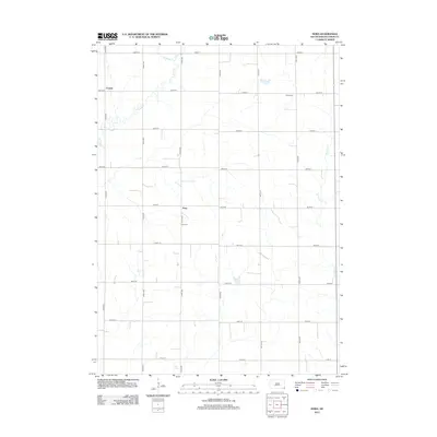
2012 Map of Nora
USGS Topo · Published 2012About this map
Emmet and Nora anchor this rural Union County landscape, where the agricultural grid of southeastern South Dakota is defined by a dense network of section line roads. The terrain is subtly shaped by the drainage patterns of Brule Cr and its tributary E Brule Cr in the northwest, while W Union Cr meanders through the eastern portions of the quadrangle. These small watercourses provide the only significant variation in a landscape dominated by strictly surveyed townships. Cultural landmarks include Nora Cem and Peace Cem, which serve as primary points of interest for genealogists and local historians tracing the settlement patterns of this farming community. The map illustrates the persistent structure of rural life in the early 21st century, with many farmsteads situated at the intersections of numbered routes like 307th St and 475th Ave.
Find a feature on this map
22 named features on this map. Tap any name to fly to it.
Don’t see what you’re looking for? This feature index may not catch every label — zoom into the map to look around manually.
Map Details
Editions of this 2012 Nora Map
This is the sole edition of this map. No revisions or reprints were ever made.
Other maps of this area

1897 · Canton
USGS Topo · 1:125,000

1898 · Elk Point
USGS Topo · 1:125,000

1900 · Canton
USGS Topo · 1:125,000

1901 · Elk Point
USGS Topo · 1:125,000

1907 · Elk Point
USGS Topo · 1:125,000

1955 · Sioux City
USGS Topo · 1:250,000

1955 · Sioux Falls
USGS Topo · 1:250,000

1958 · Sioux City
USGS Topo · 1:250,000

1958 · Sioux Falls
USGS Topo · 1:250,000

1959 · Sioux City
USGS Topo · 1:250,000