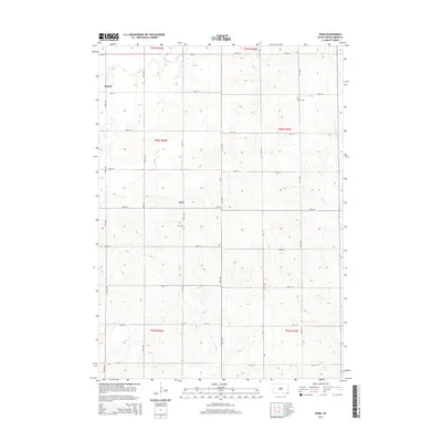
2015 Map of Nora
USGS Topo · Published 2015About this map
Nora and Emmet anchor this rural landscape in Union County, where the topography is defined by the winding paths of Brule Cr and its tributaries. The map reveals a strictly organized section-line road network, where numbered avenues like 475th Ave intersect with streets ranging from 303rd St to 311th St. This grid reflects the enduring legacy of the Public Land Survey System, which partitioned the prairie into precise townships including t94n r50w and t94n r49w. For those tracing local heritage, the inclusion of Nora Cem near the townsite and Peace Cem to the northeast provides essential locations for genealogical research. The drainage patterns of W Union Cr and the various forks of Brule Creek illustrate the natural hydrology that dictated early farmstead placement across this part of South Dakota.
Find a feature on this map
29 named features on this map. Tap any name to fly to it.
Don’t see what you’re looking for? This feature index may not catch every label — zoom into the map to look around manually.
Map Details
Editions of this 2015 Nora Map
This is the sole edition of this map. No revisions or reprints were ever made.
Other maps of this area

1897 · Canton
USGS Topo · 1:125,000

1898 · Elk Point
USGS Topo · 1:125,000

1900 · Canton
USGS Topo · 1:125,000

1901 · Elk Point
USGS Topo · 1:125,000

1907 · Elk Point
USGS Topo · 1:125,000

1955 · Sioux City
USGS Topo · 1:250,000

1955 · Sioux Falls
USGS Topo · 1:250,000

1958 · Sioux City
USGS Topo · 1:250,000

1958 · Sioux Falls
USGS Topo · 1:250,000

1959 · Sioux City
USGS Topo · 1:250,000