2021 Map of Nora
USGS Topo · Published 2021About this map
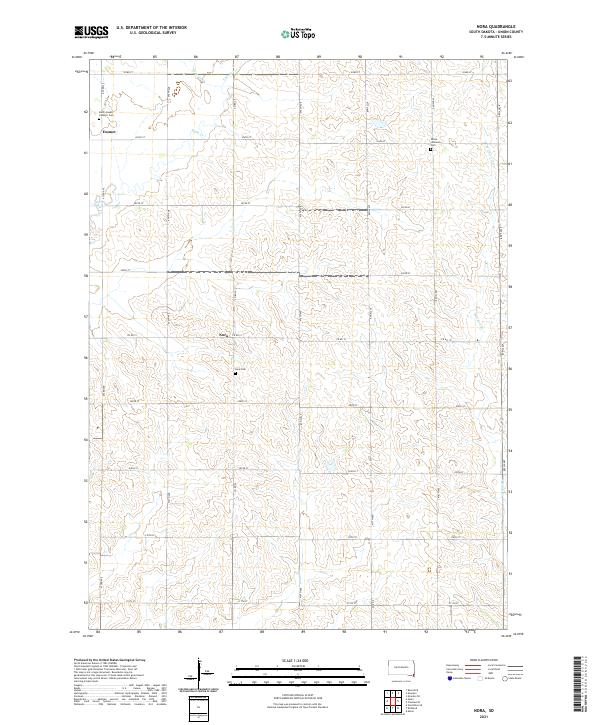
The agrarian landscape of Union County is defined here by the confluence of Brule Creek and its tributaries, West Brule Creek and East Brule Creek. This 2021 survey shows a region deeply tied to its rural roots and religious foundations, anchored by small community centers like Emmet and Nora. The township grid system of 470th-series avenues and 300th-series streets organizes the terrain, though the natural meandering of West Union Creek breaks the linear pattern in the eastern sections. Local heritage is preserved at three distinct burial grounds: Saint Joseph Catholic Cemetery, Peace Lutheran Cemetery, and Nora Cemetery, each serving as a marker of the families who settled this corner of South Dakota. The map provides a clear look at the enduring township boundaries of T93N, T94N, and T95N, reflecting the long-term settlement structure of the northern Great Plains.
Find a feature on this map
34 named features on this map. Tap any name to fly to it.
Don’t see what you’re looking for? This feature index may not catch every label — zoom into the map to look around manually.
Map Details
Editions of this 2021 Nora Map
This is the sole edition of this map. No revisions or reprints were ever made.
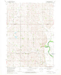
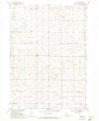
Historical Maps of Prairie Township Through Time
4 maps found
Featured Locations
- Prairie Township, SD
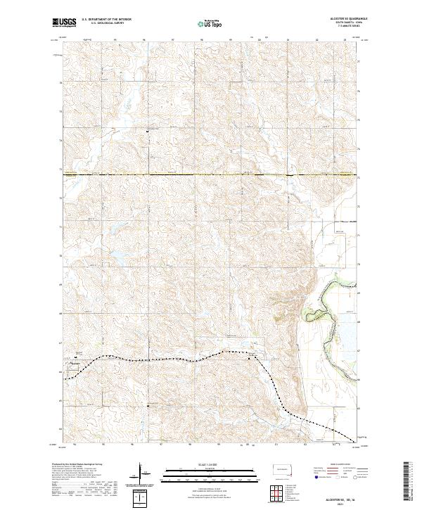
- Spink Township, SD
- Alcester Township, SD
- Emmet, Emmet Township
- Nora, Emmet Township