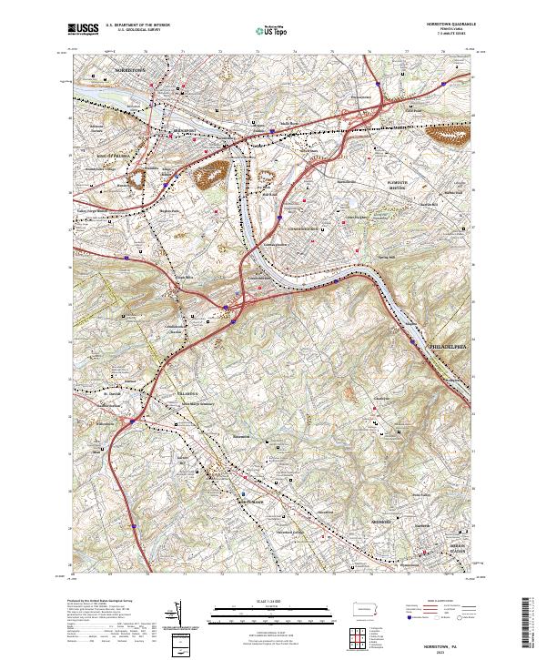
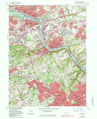
2023 Map of Norristown
USGS Topo · Published 2023About this map
The Schuylkill River carves a deep industrial and residential corridor through this part of Montgomery County, anchoring the historic centers of Norristown, Bridgeport, and Conshohocken. This survey illustrates a dense landscape of early Pennsylvania settlement, where venerable religious sites like the Old Swedes Christ Church Cem and Saint John Episcopal Church Cem stand alongside the region's prominent academic institutions, including Bryn Mawr College, Villanova University, and Haverford College. The topography is defined by significant water management features like the Swedeland Impounding Basin and numerous small runs such as Gulph Creek and Mill Creek that drain into the Schuylkill. A heavy concentration of burial grounds, including the Montgomery Cem and Gladwyne Jewish Memorial Cem, provides a detailed record for genealogical research in these long-established riverfront communities.
Find a feature on this map
143 named features on this map. Tap any name to fly to it.
Don’t see what you’re looking for? This feature index may not catch every label — zoom into the map to look around manually.
Map Details
Editions of this 2023 Norristown Map
This is the sole edition of this map. No revisions or reprints were ever made.
Historical Maps of Valley Forge Acres Through Time
9 maps found

1894 Norristown
Montgomery County, PA
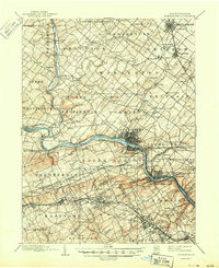
1895 Norristown
Montgomery County, PA

1896 Norristown
Montgomery County, PA

1942 Norristown
Montgomery County, PA
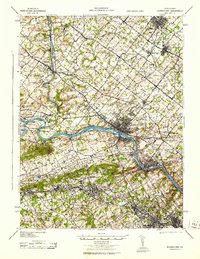
1943 Norristown
Montgomery County, PA
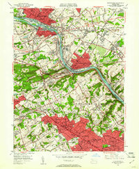
1952 Norristown
Montgomery County, PA
1966 Norristown
Montgomery County, PA
1992 Norristown
Montgomery County, PA
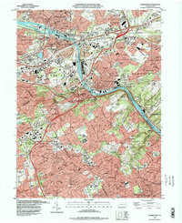
2023 Norristown
Montgomery County, PA
Featured Locations
- Radnor Township, PA
- Philadelphia, PA
- Norristown, PA
- Whitemarsh Township, PA
- King of Prussia, Upper Merion Township