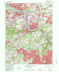
1966 Map of Norristown
USGS Topo · Published 1983About this map
The Schuylkill River carves a deep industrial and transit corridor through the heart of Montgomery County, separating the dense urban grids of Norristown and Bridgeport from the sprawling estates and academic campuses of the Main Line. This mid-century landscape is defined by its transition from heavy riverfront industry to prestigious educational institutions, featuring the expansive grounds of Villanova University, Bryn Mawr College, and Haverford College. The map captures a high degree of suburbanization, with residential developments like Brandywine Village and Belmont Terrace filling in the gaps between historic crossroads.
Find a feature on this map
147 named features on this map. Tap any name to fly to it.
Don’t see what you’re looking for? This feature index may not catch every label — zoom into the map to look around manually.
Map Details
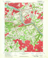
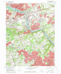
Editions of this 1966 Norristown Map
3 editions found
Other maps of this area

1891 · Philadelphia
USGS Topo · 1:62,500

1893 · Germantown
USGS Topo · 1:62,500

1894 · Chester
USGS Topo · 1:62,500

1894 · Philadelphia
USGS Topo · 1:62,500

1894 · Norristown
USGS Topo · 1:62,500

1894 · Germantown
USGS Topo · 1:62,500

1895 · Norristown
USGS Topo · 1:62,500

1896 · Germantown
USGS Topo · 1:62,500

1896 · Philadelphia
USGS Topo · 1:62,500

1896 · Norristown
USGS Topo · 1:62,500
Featured Places
- Philadelphia, PA
- Norristown, PA
- Radnor Township, PA
- King of Prussia, Upper Merion Township
- Whitemarsh Township, PA