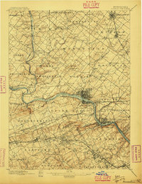
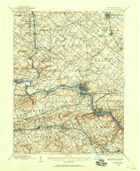
1896 Map of Norristown
USGS Topo · Published 1896About this map
Norristown serves as the industrial and population hub along the Schuylkill River in this late nineteenth-century survey of Montgomery County. The landscape is defined by its extensive rail infrastructure, including the Philadelphia and Reading RR and the North Pennsylvania RR, which facilitated the growth of towns like Lansdale and North Wales. The map documents a transition from rural milling operations, such as Waterloo Mills, to more dense suburban and manufacturing settlements.
Find a feature on this map
151 named features on this map. Tap any name to fly to it.
Don’t see what you’re looking for? This feature index may not catch every label — zoom into the map to look around manually.
Map Details
Editions of this 1896 Norristown Map
This is the sole edition of this map. No revisions or reprints were ever made.
Other maps of this area
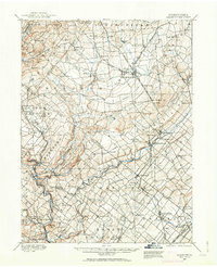
1888 · Quakertown
USGS Topo · 1:62,500

1890 · Doylestown
USGS Topo · 1:62,500
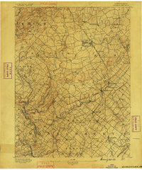
1890 · Quakertown
USGS Topo · 1:62,500

1891 · Doylestown
USGS Topo · 1:62,500

1891 · Philadelphia
USGS Topo · 1:62,500

1893 · Germantown
USGS Topo · 1:62,500
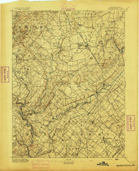
1894 · Quakertown
USGS Topo · 1:62,500

1894 · Chester
USGS Topo · 1:62,500

1894 · Philadelphia
USGS Topo · 1:62,500
1894 · Norristown
USGS Topo · 1:62,500
Featured Places
- Philadelphia, PA
- Norristown, PA
- Radnor Township, PA
- King of Prussia, Upper Merion Township
- Whitemarsh Township, PA