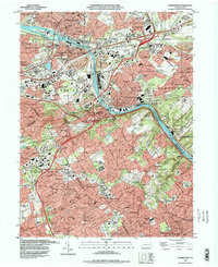
1992 Map of Norristown
USGS Topo · Published 1998About this map
The Schuylkill River carves a deep industrial and residential corridor through the heart of Montgomery County, separating the borough of Norristown from Bridgeport and Swedeland. In this late 20th-century landscape, the concentration of educational institutions is striking, with the sprawling campuses of Villanova University, Bryn Mawr College, and Haverford College anchoring the southern and western portions of the quadrangle. These centers of learning sit alongside established residential areas like Lafayette Hill and Barren Hill, showing the densification of Philadelphia's suburban perimeter.
Find a feature on this map
178 named features on this map. Tap any name to fly to it.
Don’t see what you’re looking for? This feature index may not catch every label — zoom into the map to look around manually.
Map Details
Editions of this 1992 Norristown Map
This is the sole edition of this map. No revisions or reprints were ever made.
Other maps of this area

1891 · Philadelphia
USGS Topo · 1:62,500

1893 · Germantown
USGS Topo · 1:62,500

1894 · Chester
USGS Topo · 1:62,500

1894 · Philadelphia
USGS Topo · 1:62,500

1894 · Norristown
USGS Topo · 1:62,500

1894 · Germantown
USGS Topo · 1:62,500

1895 · Norristown
USGS Topo · 1:62,500

1896 · Germantown
USGS Topo · 1:62,500

1896 · Philadelphia
USGS Topo · 1:62,500

1896 · Norristown
USGS Topo · 1:62,500
Featured Places
- Philadelphia, PA
- Norristown, PA
- Radnor Township, PA
- King of Prussia, Upper Merion Township
- Whitemarsh Township, PA