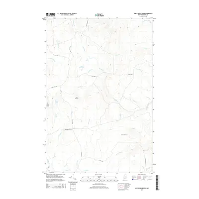
2014 Map of North Brook Ridge
USGS Topo · Published 2014About this map
North Brook Ridge and Carmichael Ridge dominate this interior landscape of Hammond, Maine, characterized by a complex network of brooks and seasonal water bodies. The terrain is defined by elevated landforms like The Pinnacle and Long Brook Ridge, which overlook numerous drainages including the N Br Meduxnekeag River in the northeast and the winding South Brook. Several small ponds are scattered throughout the quadrangle, notably Scott Pond, Little Fowler Pond, and the simple N Pond.
Find a feature on this map
35 named features on this map. Tap any name to fly to it.
Don’t see what you’re looking for? This feature index may not catch every label — zoom into the map to look around manually.
Map Details
Editions of this 2014 North Brook Ridge Map
This is the sole edition of this map. No revisions or reprints were ever made.
Other maps of this area

1934 · Bridgewater
USGS Topo · 1:48,000

1935 · Howe Brook
USGS Topo · 1:48,000

1937 · Smyrna Mills
USGS Topo · 1:62,500

1938 · Bridgewater
USGS Topo · 1:62,500

1938 · Houlton
USGS Topo · 1:62,500

1939 · Howe Brook
USGS Topo · 1:62,500

1951 · Houlton
USGS Topo · 1:62,500

1951 · Bridgewater
USGS Topo · 1:62,500

1953 · Bridgewater
USGS Topo · 1:50,000

1954 · Howe Brook
USGS Topo · 1:62,500