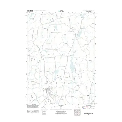
2012 Map of North Brookfield
USGS Topo · Published 2012About this map
Oakham and the surrounding Worcester County highlands are defined by a network of hills and small glacial ponds in this modern topographical study. The landscape is dotted with generational landmarks like Brookfield Orchards and the B&B Farm Airport, while the village of Hillsville sits near the southern boundary. Significant water management features, including the Kittredge Dam Reservoir and Horse Pond Brook Reservoir, indicate the region's historical reliance on managed water resources.
Find a feature on this map
165 named features on this map. Tap any name to fly to it.
Don’t see what you’re looking for? This feature index may not catch every label — zoom into the map to look around manually.
Map Details
Editions of this 2012 North Brookfield Map
This is the sole edition of this map. No revisions or reprints were ever made.
Other maps of this area

1885 · Worcester
USGS Topo · 1:62,500

1886 · Worcester
USGS Topo · 1:62,500

1887 · Brookfield
USGS Topo · 1:62,500

1887 · Barre
USGS Topo · 1:62,500

1889 · Webster
USGS Topo · 1:62,500

1889 · Barre
USGS Topo · 1:62,500

1890 · Brookfield
USGS Topo · 1:62,500

1892 · Webster
USGS Topo · 1:62,500

1892 · Worcester
USGS Topo · 1:62,500

1893 · Brookfield
USGS Topo · 1:62,500