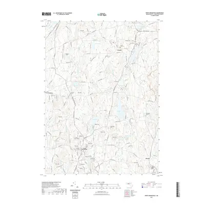
2021 Map of North Brookfield
USGS Topo · Published 2021About this map
North Brookfield and Oakham anchor this central Massachusetts landscape, where a dense network of glacial hills and water bodies has shaped centuries of development. Numerous burial grounds, such as Saint Josephs Abbey Burial Ground and Oakham Center Cem, provide significant touchpoints for genealogists tracing family roots in Worcester County. The terrain is characterized by prominent elevations like Tufts Hill, Batcheller Hill, and Tarbell Hill, which overlook a complex hydrological system including Brooks Pond and Adams Pond.
Find a feature on this map
120 named features on this map. Tap any name to fly to it.
Don’t see what you’re looking for? This feature index may not catch every label — zoom into the map to look around manually.
Map Details
Editions of this 2021 North Brookfield Map
This is the sole edition of this map. No revisions or reprints were ever made.
Other maps of this area

1885 · Worcester
USGS Topo · 1:62,500

1886 · Worcester
USGS Topo · 1:62,500

1887 · Brookfield
USGS Topo · 1:62,500

1887 · Barre
USGS Topo · 1:62,500

1889 · Webster
USGS Topo · 1:62,500

1889 · Barre
USGS Topo · 1:62,500

1890 · Brookfield
USGS Topo · 1:62,500

1892 · Webster
USGS Topo · 1:62,500

1892 · Worcester
USGS Topo · 1:62,500

1893 · Brookfield
USGS Topo · 1:62,500