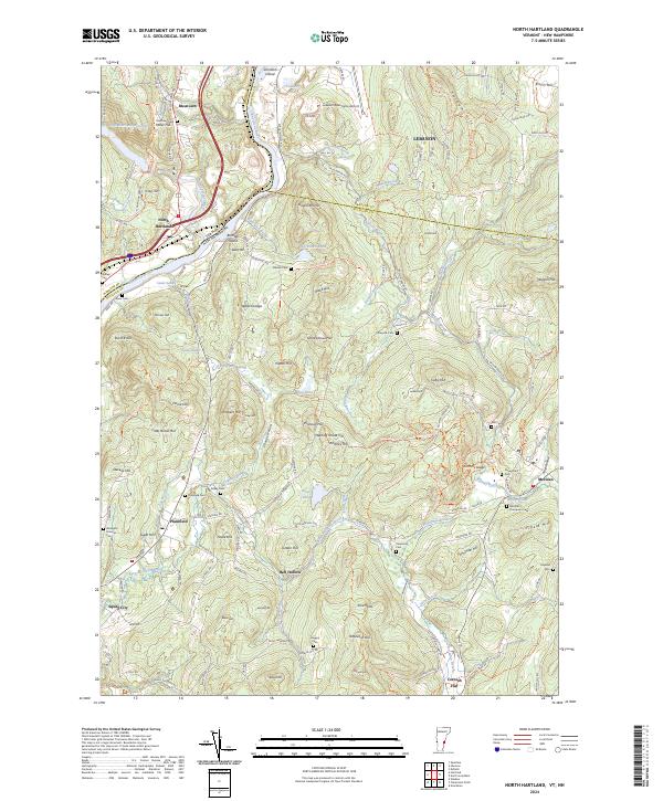
2024 Map of North Hartland
USGS Topo · Published 2024About this map
The Connecticut River serves as the primary geographical anchor for this quadrangle, forming the boundary between Vermont and New Hampshire. On the Vermont side, the landscape is defined by the North Hartland Reservoir and the confluence of the Ottauquechee River, with the settlement of North Hartland situated near the riverbanks. The terrain is marked by numerous peaks and ridges, including Willard Ledge and Miller Hill, which overlook a network of small water bodies like Lewis Swale and Beaver Brook.
Find a feature on this map
164 named features on this map. Tap any name to fly to it.
Don’t see what you’re looking for? This feature index may not catch every label — zoom into the map to look around manually.
Map Details
Editions of this 2024 North Hartland Map
This is the sole edition of this map. No revisions or reprints were ever made.
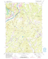
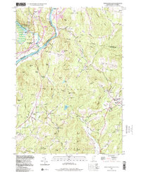
Historical Maps of Cornish Through Time
3 maps found