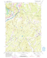
1959 Map of North Hartland
USGS Topo · Published 1991About this map
The Connecticut River serves as the focal point for this 1959 survey, marking the border between Windsor County, Vermont, and the New Hampshire counties of Grafton and Sullivan. The landscape is dominated by the North Hartland Reservoir and the North Hartland Dam, which transformed the lower Ottauquechee River valley. The map reveals a cluster of rural settlements and educational landmarks, most notably the Kimball Union Academy in Meriden.
Find a feature on this map
93 named features on this map. Tap any name to fly to it.
Don’t see what you’re looking for? This feature index may not catch every label — zoom into the map to look around manually.
Map Details
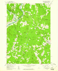
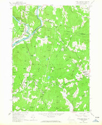
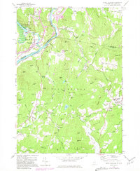
Editions of this 1959 North Hartland Map
4 editions found
Other maps of this area

1902 · Sunapee
USGS Topo · 1:62,500

1905 · Sunapee
USGS Topo · 1:62,500

1906 · Hanover
USGS Topo · 1:62,500

1907 · Sunapee
USGS Topo · 1:62,500

1908 · Hanover
USGS Topo · 1:62,500

1926 · Claremont
USGS Topo · 1:62,500

1927 · Mascoma
USGS Topo · 1:62,500

1929 · Claremont
USGS Topo · 1:62,500

1932 · Mascoma
USGS Topo · 1:62,500

1950 · Glens Falls
USGS Topo · 1:250,000