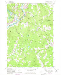
1959 Map of North Hartland
USGS Topo · Published 1981About this map
The Connecticut River serves as the focal point of this region, dividing the landscape between Hartland, Vermont, and Plainfield, New Hampshire. The late 1950s terrain is characterized by a series of prominent elevations such as Governors Hill and Farnum Hill, while the North Hartland Reservoir and North Hartland Dam on the Ottauquechee River indicate significant water management infrastructure of the era. This area maintains a distinct rural character, with clusters of settlement at Meriden, Mill Village, and Cornish Flat.
Find a feature on this map
121 named features on this map. Tap any name to fly to it.
Don’t see what you’re looking for? This feature index may not catch every label — zoom into the map to look around manually.
Map Details
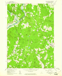
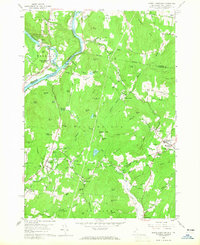
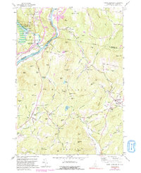
Editions of this 1959 North Hartland Map
4 editions found
Other maps of this area

1902 · Sunapee
USGS Topo · 1:62,500

1905 · Sunapee
USGS Topo · 1:62,500

1906 · Hanover
USGS Topo · 1:62,500

1907 · Sunapee
USGS Topo · 1:62,500

1908 · Hanover
USGS Topo · 1:62,500

1926 · Claremont
USGS Topo · 1:62,500

1927 · Mascoma
USGS Topo · 1:62,500

1929 · Claremont
USGS Topo · 1:62,500

1932 · Mascoma
USGS Topo · 1:62,500

1950 · Glens Falls
USGS Topo · 1:250,000