
1929 Map of Claremont
USGS Topo · Published 1929About this map
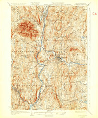
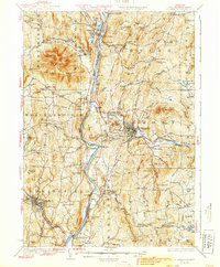
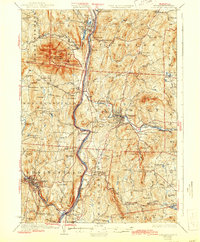
Connecticut River serves as the central artery for this late 1920s border region, dividing the steep terrain of Ascutney Mtn in Vermont from the industrial and agricultural corridors of New Hampshire. The map illustrates a landscape defined by the intersection of water power and rail transit, notably where the Sugar River meets the Boston and Maine Railroad at Claremont. While major centers like Springfield and Windsor show concentrated development, the surrounding hills are dotted with a dense network of one-room schoolhouses, including Flag Sch, Limekiln Sch, and Goward Sch. The inclusion of the Claremont Airport reflects early 20th-century modernization, while the Sullivan County Farm and Trinity Church highlight the established social and civic infrastructure of the era. This survey was one of the first to incorporate aerial photographs taken by the Air Corps to refine its topographic detail.
Find a feature on this map
106 named features on this map. Tap any name to fly to it.
Don’t see what you’re looking for? This feature index may not catch every label — zoom into the map to look around manually.
Map Details
Editions of this 1929 Claremont Map
4 editions found
Other maps of this area

1902 · Sunapee
USGS Topo · 1:62,500

1905 · Sunapee
USGS Topo · 1:62,500

1906 · Hanover
USGS Topo · 1:62,500

1907 · Sunapee
USGS Topo · 1:62,500

1908 · Hanover
USGS Topo · 1:62,500

1911 · Woodstock
USGS Topo · 1:62,500

1913 · Woodstock
USGS Topo · 1:62,500

1926 · Claremont
USGS Topo · 1:62,500

1927 · Bellows Falls
USGS Topo · 1:48,000

1927 · Mascoma
USGS Topo · 1:62,500