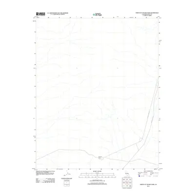
2012 Map of North of Tecopa Pass
USGS Topo · Published 2012About this map
Emigrant Pass serves as the primary landmark in this arid stretch of Inyo County, situated in the southeastern corner of the California desert. The landscape is defined by dry drainage patterns flowing from the surrounding high ground toward the valley floor, where human movement is concentrated along a few established corridors. Modern transport follows the historical path of the Old Spanish Trail Hwy, which cuts across the eastern edge of the quadrangle alongside Mesquite Valley Rd. The starkness of the map reflects the remote nature of this borderland region, where the primary geographical features are the mountain passes and the ancient trails that once guided travelers through the Basin and Range province toward the Nevada line.
Find a feature on this map
3 named features on this map. Tap any name to fly to it.
Don’t see what you’re looking for? This feature index may not catch every label — zoom into the map to look around manually.
Map Details
Editions of this 2012 North of Tecopa Pass Map
This is the sole edition of this map. No revisions or reprints were ever made.
Other maps of this area
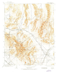
1907 · Las Vegas
USGS Topo · 1:250,000

1908 · Furnace Creek
USGS Topo · 1:250,000
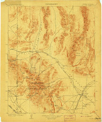
1908 · Las Vegas
USGS Topo · 1:250,000

1910 · Furnace Creek
USGS Topo · 1:250,000

1910 · Ivanpah
USGS Topo · 1:250,000

1912 · Ivanpah
USGS Topo · 1:250,000

1933 · Avawatz Mountains
USGS Topo · 1:250,000

1942 · Ivanpah
USGS Topo · 1:250,000

1947 · Trona
USGS Topo · 1:250,000

1947 · Kingman
USGS Topo · 1:250,000