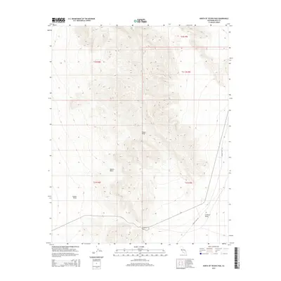
2015 Map of North of Tecopa Pass
USGS Topo · Published 2015About this map
The Nopah Range dominates this landscape in the eastern Mojave Desert, its steep ridgelines separating two distinct alluvial basins. To the west lies the broad, flat expanse of Chicago Valley, while to the southeast, the terrain transitions into the California Valley. This high-desert environment is traversed by a few key transit corridors, most notably where the primitive track of Mesquite Valley Rd winds along the eastern foothills. At the southern edge of the range, Emigrant Pass serves as a critical geographic notch, providing a natural route through the otherwise imposing mountain barrier. This 2015 USGS survey detail highlights the extreme isolation of these desert valleys, where the landscape is defined more by vertical relief and geological boundaries like t21n r8e than by human habitation.
Find a feature on this map
11 named features on this map. Tap any name to fly to it.
Don’t see what you’re looking for? This feature index may not catch every label — zoom into the map to look around manually.
Map Details
Editions of this 2015 North of Tecopa Pass Map
This is the sole edition of this map. No revisions or reprints were ever made.
Other maps of this area
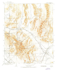
1907 · Las Vegas
USGS Topo · 1:250,000

1908 · Furnace Creek
USGS Topo · 1:250,000
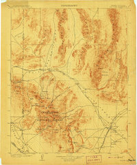
1908 · Las Vegas
USGS Topo · 1:250,000

1910 · Furnace Creek
USGS Topo · 1:250,000

1910 · Ivanpah
USGS Topo · 1:250,000

1912 · Ivanpah
USGS Topo · 1:250,000

1933 · Avawatz Mountains
USGS Topo · 1:250,000

1942 · Ivanpah
USGS Topo · 1:250,000

1947 · Trona
USGS Topo · 1:250,000

1947 · Kingman
USGS Topo · 1:250,000