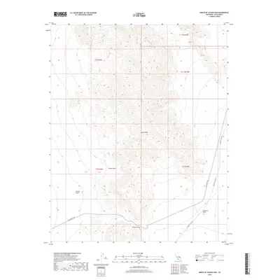
2018 Map of North of Tecopa Pass
USGS Topo · Published 2018About this map
The Nopah Range dominates the central axis of this landscape, carving a high divide through the eastern Mojave Desert. This arid region in Inyo County shows the dramatic topography between two distinct basins: Chicago Valley to the west and California Valley to the southeast. A vital corridor for early travel is preserved here in the form of the Old Spanish Trl, which skirts the southern foothills near Emigrant Pass. The alignment of these routes illustrates how the natural breaks in the mountains dictated historical movement through the desert. Modern access is reflected by Mesquite Valley Rd, while the underlying Public Land Survey System grid provides a framework for the township and range boundaries that define these uninhabited stretches of the Great Basin.
Find a feature on this map
12 named features on this map. Tap any name to fly to it.
Don’t see what you’re looking for? This feature index may not catch every label — zoom into the map to look around manually.
Map Details
Editions of this 2018 North of Tecopa Pass Map
This is the sole edition of this map. No revisions or reprints were ever made.
Other maps of this area

1907 · Las Vegas
USGS Topo · 1:250,000

1908 · Furnace Creek
USGS Topo · 1:250,000

1908 · Las Vegas
USGS Topo · 1:250,000

1910 · Furnace Creek
USGS Topo · 1:250,000

1910 · Ivanpah
USGS Topo · 1:250,000

1912 · Ivanpah
USGS Topo · 1:250,000

1933 · Avawatz Mountains
USGS Topo · 1:250,000

1942 · Ivanpah
USGS Topo · 1:250,000

1947 · Trona
USGS Topo · 1:250,000

1947 · Kingman
USGS Topo · 1:250,000