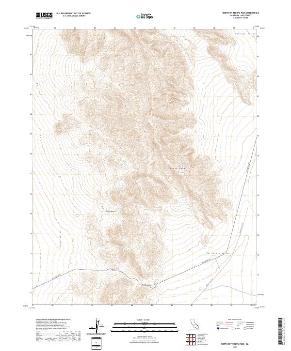
2021 Map of North of Tecopa Pass
USGS Topo · Published 2021About this map
Emigrant Pass serves as a critical geographic transition point in this corner of the Mojave Desert, bridging the high ground of the Nopah Range between several distinct desert basins. The historic route of the Old Spanish Trl is clearly delineated as it traverses the landscape, cutting through Chicago Valley before crossing the pass into California Valley. This modern survey documents the persistent topography of these ancient travel corridors, where the primary infrastructure remains focused on traditional routes like Mesquite Valley Rd. The vast elevation changes between the peaks and the floor of the Pahrump Valley emphasize the environmental challenges faced by early travelers navigating this portion of Inyo County.
Find a feature on this map
13 named features on this map. Tap any name to fly to it.
Don’t see what you’re looking for? This feature index may not catch every label — zoom into the map to look around manually.
Map Details
Editions of this 2021 North of Tecopa Pass Map
This is the sole edition of this map. No revisions or reprints were ever made.
Other maps of this area

1907 · Las Vegas
USGS Topo · 1:250,000

1908 · Furnace Creek
USGS Topo · 1:250,000

1908 · Las Vegas
USGS Topo · 1:250,000

1910 · Furnace Creek
USGS Topo · 1:250,000

1910 · Ivanpah
USGS Topo · 1:250,000

1912 · Ivanpah
USGS Topo · 1:250,000

1933 · Avawatz Mountains
USGS Topo · 1:250,000

1942 · Ivanpah
USGS Topo · 1:250,000

1947 · Trona
USGS Topo · 1:250,000

1947 · Kingman
USGS Topo · 1:250,000