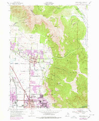
1955 Map of North Ogden
USGS Topo · Published 1978About this map
The Cache National Forest dominates the eastern terrain of this Utah quadrangle, where the steep slopes of Ben Lomond and Lewis Peak overlook the rapid post-war expansion of the Wasatch Front. This 1955 survey, updated through the mid-1970s, captures the evolving footprint of North Ogden and Pleasant View. The transition from agrarian land use to suburban development is evident in the presence of the State Agric College Experimental Sta alongside newer residential extensions. Institutional history is anchored by the State Industrial School and the State Hosp in the southern sector near Ogden. Industrial and utility infrastructure, such as the Union Pacific rail lines and various Artesian Wells, support the growing valley settlements. To the north, the landscape remains more defined by its geography, featuring Long Bench and the narrow corridors of Coldwater Canyon and Ogden Canyon.
Find a feature on this map
66 named features on this map. Tap any name to fly to it.
Don’t see what you’re looking for? This feature index may not catch every label — zoom into the map to look around manually.
Map Details
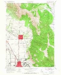
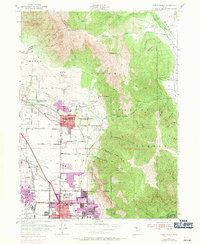
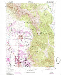
Editions of this 1955 North Ogden Map
5 editions found
Other maps of this area

1954 · Ogden
USGS Topo · 1:250,000

1954 · Brigham City
USGS Topo · 1:250,000

1955 · Ogden
USGS Topo · 1:24,000

1955 · Plain City
USGS Topo · 1:24,000

1955 · Roy
USGS Topo · 1:24,000

1955 · Mantua
USGS Topo · 1:24,000

1955 · Huntsville
USGS Topo · 1:24,000

1955 · James Peak
USGS Topo · 1:24,000

1955 · Willard
USGS Topo · 1:24,000

1955 · North Ogden
USGS Topo · 1:24,000