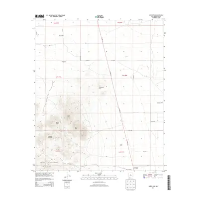
2013 Map of North Peak
USGS Topo · Published 2013About this map
The Tres Hermanas Mountains dominate the southwestern corner of this desert landscape, featuring a series of prominent summits including North Peak, Mid Peak, and South Peak. This modern survey documents a section of Luna County characterized by its extreme aridity and volcanic geology, where drainage patterns like Manning Canyon and Rascon Canyon reveal the erosional history of the peaks.
Find a feature on this map
37 named features on this map. Tap any name to fly to it.
Don’t see what you’re looking for? This feature index may not catch every label — zoom into the map to look around manually.
Map Details
Editions of this 2013 North Peak Map
This is the sole edition of this map. No revisions or reprints were ever made.
Other maps of this area
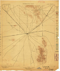
1899 · Deming
USGS Topo · 1:125,000
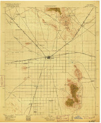
1915 · Deming
USGS Topo · 1:125,000
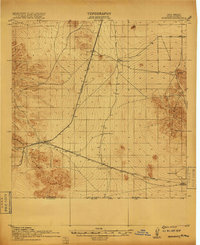
1917 · Hermanas
USGS Topo · 1:62,500
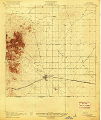
1917 · Columbus
USGS Topo · 1:62,500
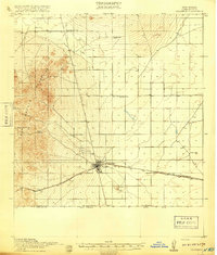
1918 · Columbus
USGS Topo · 1:62,500
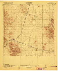
1918 · Hermanas
USGS Topo · 1:62,500
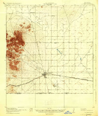
1920 · Columbus
USGS Topo · 1:62,500
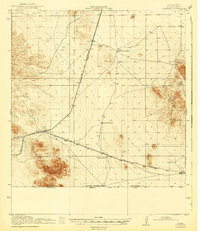
1943 · Hermanas
USGS Topo · 1:62,500
1953 · El Paso
USGS Topo · 1:250,000
1955 · Las Cruces
USGS Topo · 1:250,000