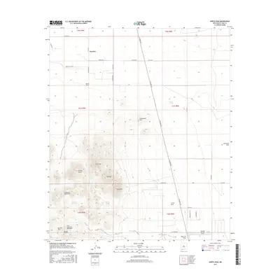
2017 Map of North Peak
USGS Topo · Published 2017About this map
Waterloo sits at the northern edge of this high-desert landscape in Luna County, where the topography shifts from flat ranchlands into the prominent heights of the Tres Hermanas Mountains. The terrain is defined by a series of peaks, including North Peak, Mid Peak, and South Peak, which rise sharply above the surrounding desert floor. This area is etched by numerous drainage systems such as Manning Canyon and Lonesome Cabin Draw, leading toward the southern flats where the Hacienda Sur Luna Airport provides an aviation waypoint near the borderlands.
Find a feature on this map
48 named features on this map. Tap any name to fly to it.
Don’t see what you’re looking for? This feature index may not catch every label — zoom into the map to look around manually.
Map Details
Editions of this 2017 North Peak Map
This is the sole edition of this map. No revisions or reprints were ever made.
Other maps of this area
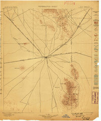
1899 · Deming
USGS Topo · 1:125,000
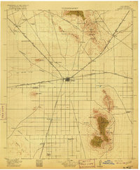
1915 · Deming
USGS Topo · 1:125,000
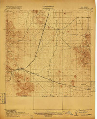
1917 · Hermanas
USGS Topo · 1:62,500
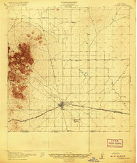
1917 · Columbus
USGS Topo · 1:62,500
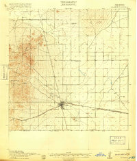
1918 · Columbus
USGS Topo · 1:62,500
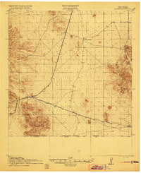
1918 · Hermanas
USGS Topo · 1:62,500
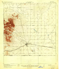
1920 · Columbus
USGS Topo · 1:62,500
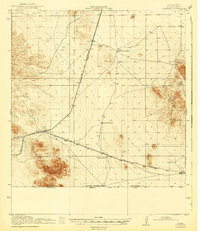
1943 · Hermanas
USGS Topo · 1:62,500
1953 · El Paso
USGS Topo · 1:250,000
1955 · Las Cruces
USGS Topo · 1:250,000