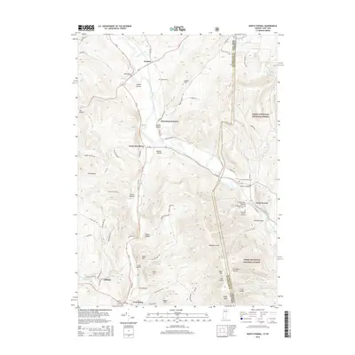
2015 Map of North Pownal
USGS Topo · Published 2015About this map
The Taconic Range and the western edge of the Green Mountain National Forest dominate this borderland where New York and Vermont meet. The Hoosic River carves a path through the valley, anchoring several small communities including Hoosick, Petersburg Junction, and North Pownal. This landscape is deeply marked by early agricultural and familial history, evidenced by numerous small burial grounds such as the Edgar Rathburn Farm Cem and Woodland-J Wilcox Farm Cem. The road network, featuring names like Indian Massacre Rd and Rabbit College Rd, reflects the deep-seated local lore and historical development of the region. Moving south toward Petersburg, the topography transitions into the Berkshire Hills, with prominent peaks like Bald Mtn and White Rock rising above the timbered hollows and small watercourses like Dill Cr.
Find a feature on this map
77 named features on this map. Tap any name to fly to it.
Don’t see what you’re looking for? This feature index may not catch every label — zoom into the map to look around manually.
Map Details
Editions of this 2015 North Pownal Map
This is the sole edition of this map. No revisions or reprints were ever made.
Other maps of this area

1886 · Greylock
USGS Topo · 1:62,500

1888 · Berlin
USGS Topo · 1:62,500

1890 · Berlin
USGS Topo · 1:62,500

1891 · Greylock
USGS Topo · 1:62,500

1893 · Greylock
USGS Topo · 1:62,500

1894 · Berlin
USGS Topo · 1:62,500

1897 · Hoosick
USGS Topo · 1:62,500

1898 · Berlin
USGS Topo · 1:62,500

1898 · Bennington
USGS Topo · 1:62,500

1898 · Greylock
USGS Topo · 1:62,500