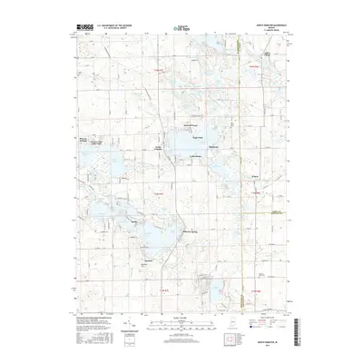
2016 Map of North Webster
USGS Topo · Published 2016About this map
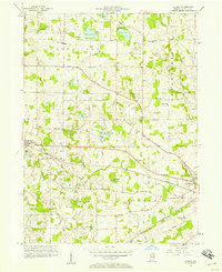
Webster Lake and the surrounding glacial basins define this landscape at the intersection of Kosciusko, Noble, and Whitley counties. The town of North Webster serves as a central hub, flanked by recreation-oriented developments such as Epworth Forest and Eagle Point. The map captures a high density of named water bodies, ranging from the complex shoreline of The Backwaters to the clustered Barbee Chain, including Sechrist Lake and Banning Lake.
Find a feature on this map
144 named features on this map. Tap any name to fly to it.
Don’t see what you’re looking for? This feature index may not catch every label — zoom into the map to look around manually.
Map Details
Editions of this 2016 North Webster Map
This is the sole edition of this map. No revisions or reprints were ever made.
Other maps of this area
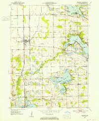
1950 · Leesburg
USGS Topo · 1:24,000
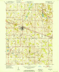
1950 · Pierceton
USGS Topo · 1:24,000
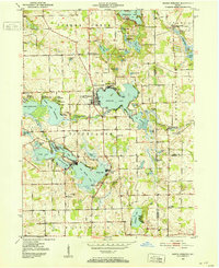
1950 · North Webster
USGS Topo · 1:24,000
1951 · Milford
USGS Topo · 1:24,000
1951 · Wawasee
USGS Topo · 1:24,000
1951 · Ormas
USGS Topo · 1:24,000

1953 · Fort Wayne
USGS Topo · 1:250,000

1956 · Fort Wayne
USGS Topo · 1:250,000
1956 · Ligonier
USGS Topo · 1:24,000
1956 · Lorane
USGS Topo · 1:24,000