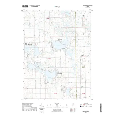
2019 Map of North Webster
USGS Topo · Published 2019About this map
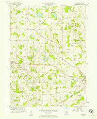
Webster Lake and the surrounding glacial basins of northern Indiana define this 2019 survey, showcasing a landscape deeply tied to its water bodies. The community of North Webster serves as a central hub, situated between the large expanse of Webster Lake and the eastern reaches of Tippecanoe Lake. The map reveals a dense network of smaller waters, including Papakiechie Lake, Shock Lake, and Long Lake, many connected by the Tippecanoe River or drainage features like Kuhn Ditch.
Find a feature on this map
165 named features on this map. Tap any name to fly to it.
Don’t see what you’re looking for? This feature index may not catch every label — zoom into the map to look around manually.
Map Details
Editions of this 2019 North Webster Map
This is the sole edition of this map. No revisions or reprints were ever made.
Other maps of this area
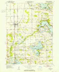
1950 · Leesburg
USGS Topo · 1:24,000
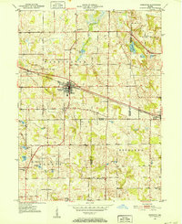
1950 · Pierceton
USGS Topo · 1:24,000
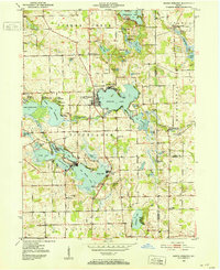
1950 · North Webster
USGS Topo · 1:24,000
1951 · Milford
USGS Topo · 1:24,000
1951 · Wawasee
USGS Topo · 1:24,000
1951 · Ormas
USGS Topo · 1:24,000

1953 · Fort Wayne
USGS Topo · 1:250,000

1956 · Fort Wayne
USGS Topo · 1:250,000
1956 · Ligonier
USGS Topo · 1:24,000
1956 · Lorane
USGS Topo · 1:24,000