
1885 Map of Northampton
USGS Topo · Published 1885About this map
Northampton and the Connecticut River valley are shown here in the late 19th century, during a period of dense industrial and educational growth. The Mill River winds through several manufacturing hamlets, including Williamsburg, Haydenville, and Leeds, while the broader valley is dominated by the sprawling campuses of the Agricultural College and a secondary College in Amherst. This survey illustrates a landscape defined by water power and institutional expansion, with the Insane Asylum overlooking the meadows south of the main settlement.
Find a feature on this map
134 named features on this map. Tap any name to fly to it.
Don’t see what you’re looking for? This feature index may not catch every label — zoom into the map to look around manually.
Map Details
Editions of this 1885 Northampton Map
This is the sole edition of this map. No revisions or reprints were ever made.
Other maps of this area

1886 · Springfield
USGS Topo · 1:62,500

1886 · Hawley
USGS Topo · 1:62,500

1886 · Chesterfield
USGS Topo · 1:62,500

1886 · Northampton
USGS Topo · 1:62,500

1887 · Warwick
USGS Topo · 1:62,500

1887 · Palmer
USGS Topo · 1:62,500

1887 · Belchertown
USGS Topo · 1:62,500
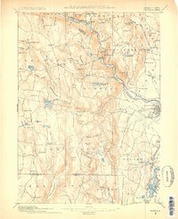
1887 · Granville
USGS Topo · 1:62,500
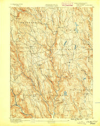
1888 · Chesterfield
USGS Topo · 1:62,500

1889 · Springfield
USGS Topo · 1:62,500