
1886 Map of Northampton
USGS Topo · Published 1886About this map
The Connecticut River carves a winding path through this mid-1880s survey of Hampshire and Franklin counties, defining the agricultural and industrial character of the Pioneer Valley. Significant infrastructure of the era is evident, including the junction of the New Haven and Northampton Railroad and the Connecticut River Railroad at Northampton. To the east, the Agricultural College stands near Amherst City, while the Insane Asylum is noted on the outskirts of the primary settlement.
Find a feature on this map
119 named features on this map. Tap any name to fly to it.
Don’t see what you’re looking for? This feature index may not catch every label — zoom into the map to look around manually.
Map Details
Editions of this 1886 Northampton Map
This is the sole edition of this map. No revisions or reprints were ever made.
Other maps of this area

1885 · Northampton
USGS Topo · 1:62,500

1886 · Springfield
USGS Topo · 1:62,500

1886 · Hawley
USGS Topo · 1:62,500

1886 · Chesterfield
USGS Topo · 1:62,500

1887 · Warwick
USGS Topo · 1:62,500

1887 · Palmer
USGS Topo · 1:62,500

1887 · Belchertown
USGS Topo · 1:62,500
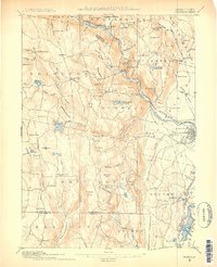
1887 · Granville
USGS Topo · 1:62,500
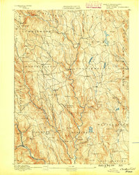
1888 · Chesterfield
USGS Topo · 1:62,500

1889 · Springfield
USGS Topo · 1:62,500