Loading...
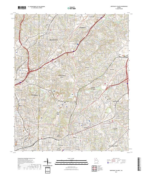
Loading map...2024 Map of Northeast Atlanta
USGS Topo · Published 2024About this map
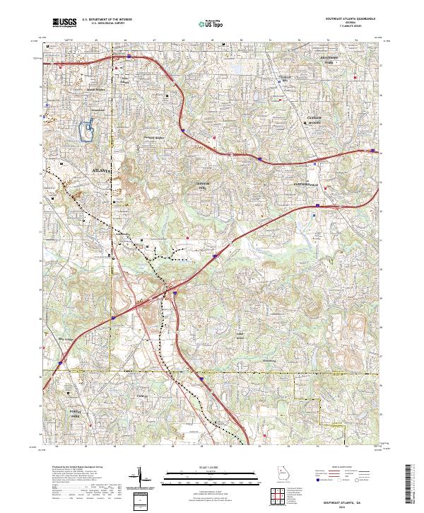
The Martin Luther King Jr National Historic Site and the nearby Martin Luther King Junior and Coretta Scott King Grave anchor the southwestern corner of this survey, marking a landscape of profound historical significance. The map transitions from the dense urban neighborhoods of Atlanta and Decatur into established suburbs like Brookhaven, Chamblee, and Tucker.
Find a feature on this map
59 named features on this map. Tap any name to fly to it.
Don’t see what you’re looking for? This feature index may not catch every label — zoom into the map to look around manually.
Map Details
Date Portrayed2024
Date Published2024
PublisherU.S. Geological Survey
Map TypeTopographic
Scale1:24000
Physical Dimensions24 x 29 inches
Editions of this 2024 Northeast Atlanta Map
This is the sole edition of this map. No revisions or reprints were ever made.
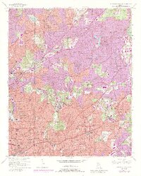
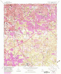
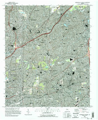
Historical Maps of Avondale Estates Through Time
7 maps found
Featured Locations
Source Details
SourceU.S. Geological Survey
CopyrightPublic Domain