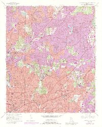
1954 Map of Northeast Atlanta
USGS Topo · Published 1988About this map
Oglethorpe University and the De Kalb-Peachtree Airport define the northern reaches of this topographic survey, which captures the dense institutional and residential expansion of DeKalb County. The map documents a corridor of higher education and healthcare, anchored by Emory University in Druid Hills and Agnes Scott College in Decatur. Significant social infrastructure is visible through landmarks like the Scottish Rite Hospital, the Cerebral Palsy Center, and the Southern Christian Home for Children. Transportation networks including the Northeast Expressway and the Georgia Railroad facilitate the growth of mid-century suburban settlements such as North Atlanta, Avondale Estates, and Brookhaven. Natural features like South Fork Peachtree Creek and the Fernbank Forest and Recreational Center provide contrast to the burgeoning urban footprint of Atlanta as its city boundary pushes eastward toward Scottdale and Rehoboth.
Find a feature on this map
106 named features on this map. Tap any name to fly to it.
Don’t see what you’re looking for? This feature index may not catch every label — zoom into the map to look around manually.
Map Details
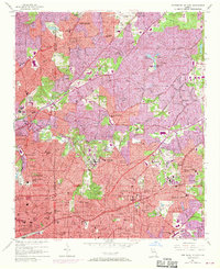
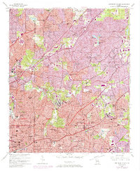
Editions of this 1954 Northeast Atlanta Map
4 editions found
Other maps of this area

1888 · Atlanta
USGS Topo · 1:125,000

1890 · Atlanta
USGS Topo · 1:125,000

1892 · Atlanta
USGS Topo · 1:125,000

1895 · Atlanta
USGS Topo · 1:125,000

1953 · Atlanta
USGS Topo · 1:250,000

1954 · Conley
USGS Topo · 1:24,000

1954 · Chamblee
USGS Topo · 1:24,000

1954 · Decatur
USGS Topo · 1:24,000

1954 · Bolton
USGS Topo · 1:24,000

1954 · East Point
USGS Topo · 1:24,000