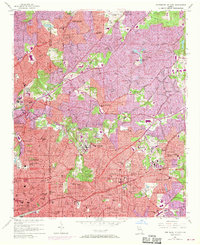
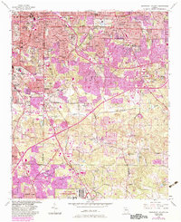
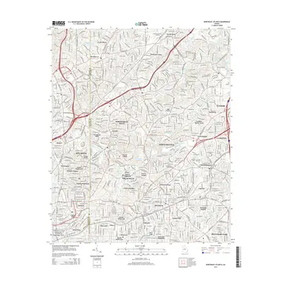
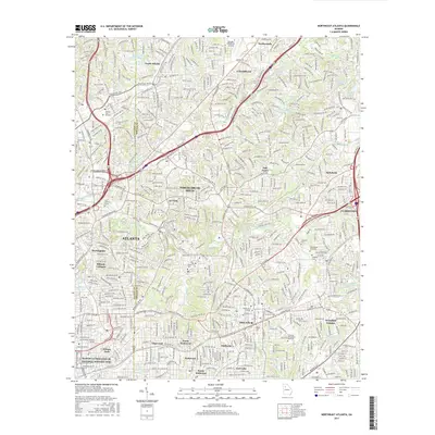
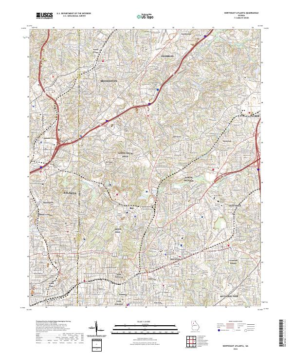
1954 Map of Northeast Atlanta
USGS Topo · Published 1970About this map
Decatur and the expanding suburbs of northeast Atlanta are captured during a period of rapid post-war transformation, with updates from 1968 showing the burgeoning footprint of the Northeast Expressway. The landscape is a dense network of established neighborhoods and educational institutions, anchored by Oglethorpe University, Agnes Scott College, and the Columbia Seminary. To the north, the De Kalb Peachtree Airport serves as a major aviation hub, while the residential character of the region is defined by communities like North Atlanta, Brookhaven, and Avondale Estates.
Find a feature on this map
100 named features on this map. Tap any name to fly to it.
Don’t see what you’re looking for? This feature index may not catch every label — zoom into the map to look around manually.
Map Details
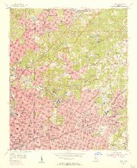
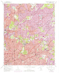
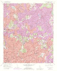
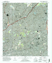
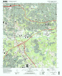
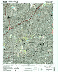
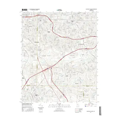
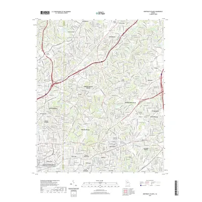
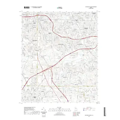
Editions of this 1954 Northeast Atlanta Map
4 editions found
Historical Maps of Atlanta Through Time
15 maps found
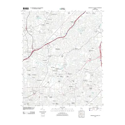
1954 Northeast Atlanta
DeKalb County, GA
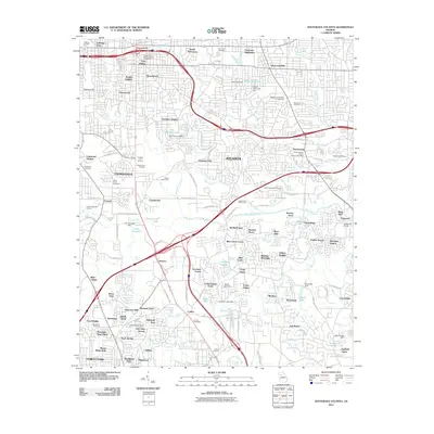
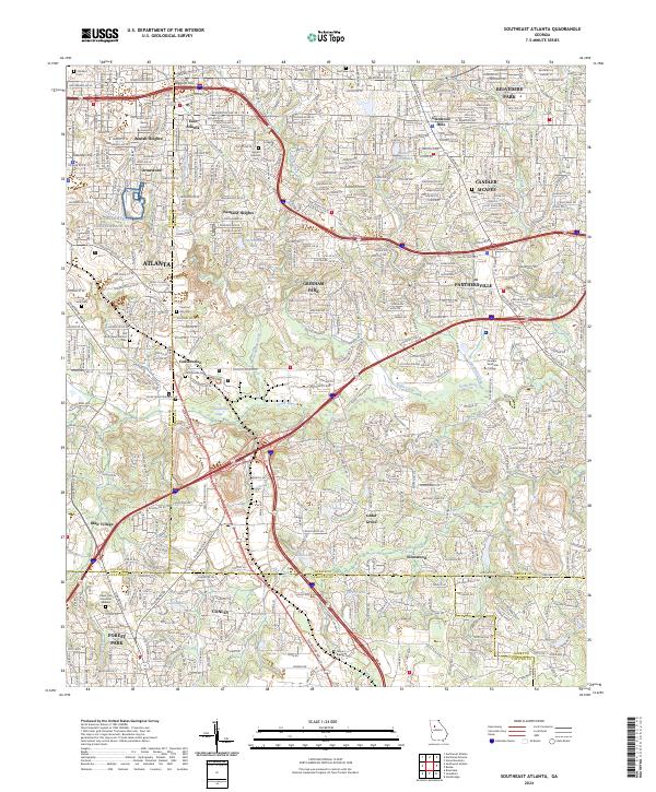
1954 Southeast Atlanta
DeKalb County, GA
1993 Northeast Atlanta
DeKalb County, GA
1993 Southeast Atlanta
DeKalb County, GA
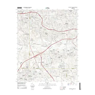
1997 Northeast Atlanta
DeKalb County, GA
2011 Northeast Atlanta
DeKalb County, GA
2011 Southeast Atlanta
DeKalb County, GA
2014 Northeast Atlanta
DeKalb County, GA
2014 Southeast Atlanta
DeKalb County, GA
2017 Northeast Atlanta
DeKalb County, GA
2017 Southeast Atlanta
DeKalb County, GA
2020 Northeast Atlanta
DeKalb County, GA
2020 Southeast Atlanta
DeKalb County, GA
2024 Northeast Atlanta
DeKalb County, GA
2024 Southeast Atlanta
DeKalb County, GA