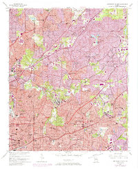
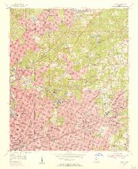
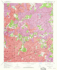
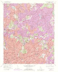
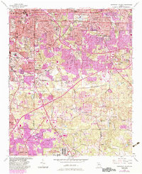
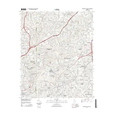
1954 Map of Northeast Atlanta
USGS Topo · Published 1974About this map
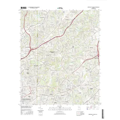
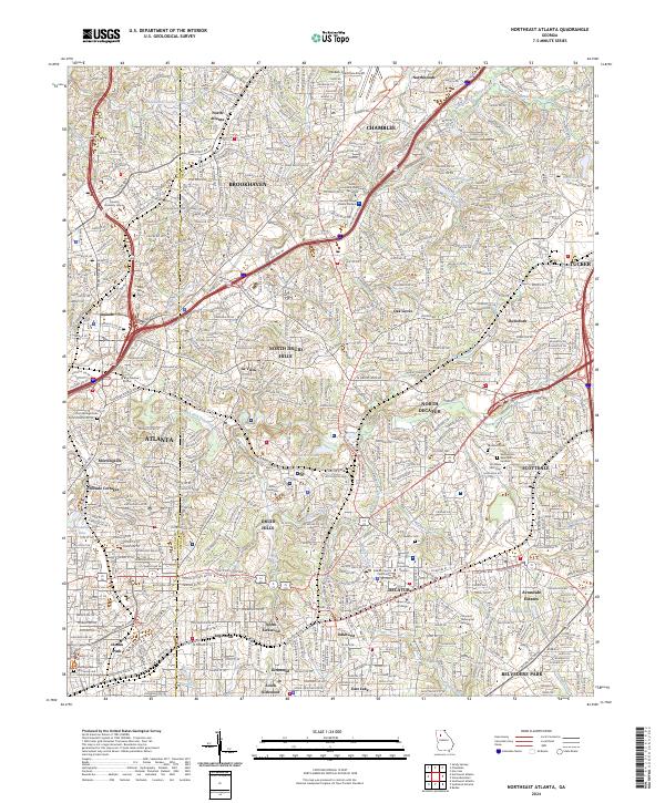
Oglethorpe University and Emory University anchor the institutional landscape of this mid-century survey, which documents the rapid expansion of the northern and eastern suburbs of Atlanta. The transition from rural DeKalb County to an urbanized environment is evident as neighborhoods like North Decatur and Brookhaven fill in the spaces between established hubs. Educational and religious institutions are dense throughout the sheet, from Agnes Scott College in Decatur to the Columbia Seminary and Druid Hills High School.
Find a feature on this map
79 named features on this map. Tap any name to fly to it.
Don’t see what you’re looking for? This feature index may not catch every label — zoom into the map to look around manually.
Map Details
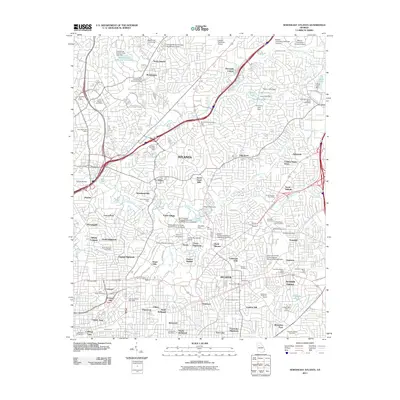
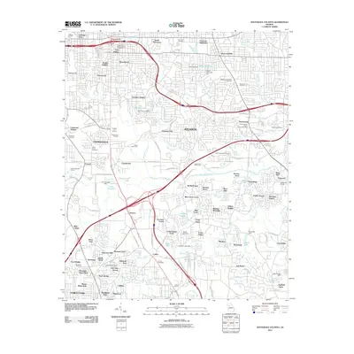
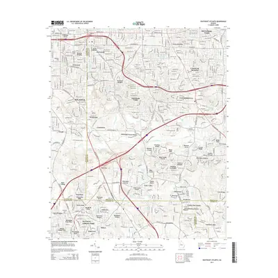
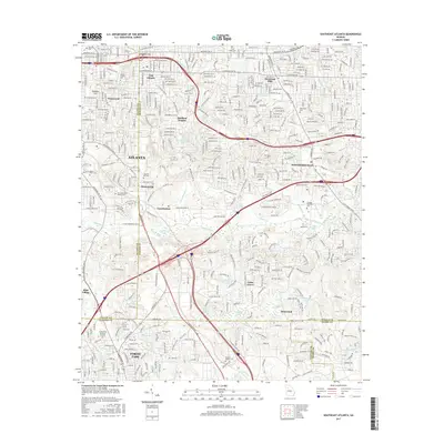
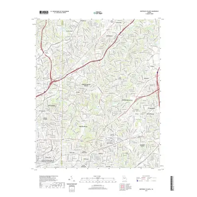
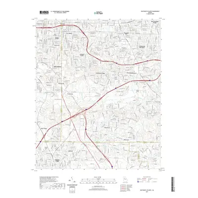
Editions of this 1954 Northeast Atlanta Map
4 editions found
Historical Maps of Atlanta Through Time
15 maps found
1954 Northeast Atlanta
DeKalb County, GA
1954 Southeast Atlanta
DeKalb County, GA
1993 Northeast Atlanta
DeKalb County, GA
1993 Southeast Atlanta
DeKalb County, GA
1997 Northeast Atlanta
DeKalb County, GA
2011 Northeast Atlanta
DeKalb County, GA
2011 Southeast Atlanta
DeKalb County, GA
2014 Northeast Atlanta
DeKalb County, GA
2014 Southeast Atlanta
DeKalb County, GA
2017 Northeast Atlanta
DeKalb County, GA
2017 Southeast Atlanta
DeKalb County, GA
2020 Northeast Atlanta
DeKalb County, GA
2020 Southeast Atlanta
DeKalb County, GA
2024 Northeast Atlanta
DeKalb County, GA
2024 Southeast Atlanta
DeKalb County, GA