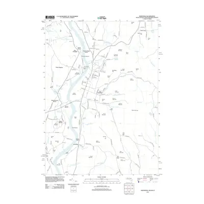
2012 Map of Northfield
USGS Topo · Published 2012About this map
The Connecticut River defines the central spine of this landscape, carving through a series of fertile intervals including Moose Plain and Great Meadow. The river valley serves as a historical corridor for both rail and road, with the Pan Am Southern railroad line and key settlements like East Northfield and South Vernon positioned along its banks. The terrain rises sharply away from the water into a series of named heights such as Hogback Mountain, Brush Mountain, and Notch Mountain, creating a varied topography that influenced early land use.
Find a feature on this map
160 named features on this map. Tap any name to fly to it.
Don’t see what you’re looking for? This feature index may not catch every label — zoom into the map to look around manually.
Map Details
Editions of this 2012 Northfield Map
This is the sole edition of this map. No revisions or reprints were ever made.
Other maps of this area

1887 · Warwick
USGS Topo · 1:62,500

1889 · Warwick
USGS Topo · 1:62,500

1890 · Greenfield
USGS Topo · 1:62,500

1891 · Brattleboro
USGS Topo · 1:62,500

1893 · Brattleboro
USGS Topo · 1:62,500

1894 · Greenfield
USGS Topo · 1:62,500

1894 · Warwick
USGS Topo · 1:62,500

1898 · Keene
USGS Topo · 1:62,500

1932 · Brattleboro
USGS Topo · 1:48,000

1932 · Warwick
USGS Topo · 1:48,000