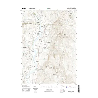
2015 Map of Northfield
USGS Topo · Published 2015About this map
The Connecticut River defines the landscape of this tri-state border region, carving through a sequence of named agricultural flats including Great Meadow, Moose Plain, and Beers Plain. The settlement of Northfield serves as a central hub, flanked by its eastern and western counterparts and the educational grounds of Mount Hermon. The topography is marked by several distinctive heights such as Crag Mtn and Stratton Mtn, while more colorful local toponyms like Satans Kingdom and Hells Kitchen suggest the character of the steeper ravines and wooded breaks.
Find a feature on this map
168 named features on this map. Tap any name to fly to it.
Don’t see what you’re looking for? This feature index may not catch every label — zoom into the map to look around manually.
Map Details
Editions of this 2015 Northfield Map
This is the sole edition of this map. No revisions or reprints were ever made.
Other maps of this area

1887 · Warwick
USGS Topo · 1:62,500

1889 · Warwick
USGS Topo · 1:62,500

1890 · Greenfield
USGS Topo · 1:62,500

1891 · Brattleboro
USGS Topo · 1:62,500

1893 · Brattleboro
USGS Topo · 1:62,500

1894 · Greenfield
USGS Topo · 1:62,500

1894 · Warwick
USGS Topo · 1:62,500

1898 · Keene
USGS Topo · 1:62,500

1932 · Brattleboro
USGS Topo · 1:48,000

1932 · Warwick
USGS Topo · 1:48,000